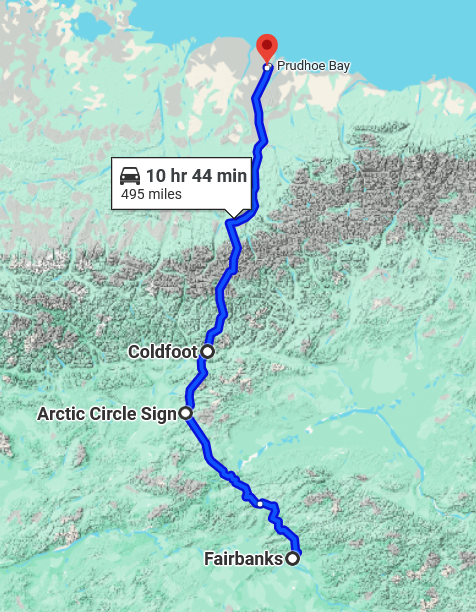
The Dalton Highway, the road from Fairbanks to Deadhorse/Prudhoe Bay is a road with a nasty reputation. According to the Milepost (our guidebook).
The Dalton Highway is unique in its scenic beauty, wildlife and recreational opportunities, but it is also one of Alaska’s most remote, dangerous and challenging roads. Driving distance (round-trip) between Fairbanks and Deadhorse is approximately 1,000 miles.
The Milepost 74th Edition
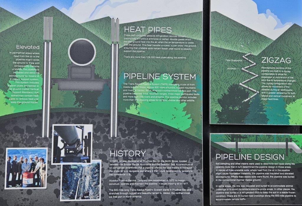
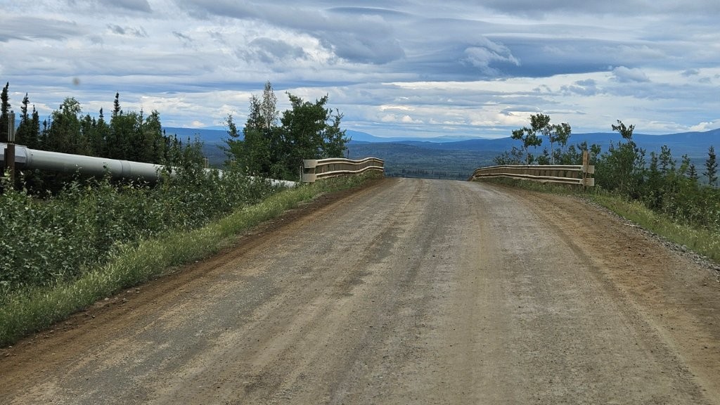
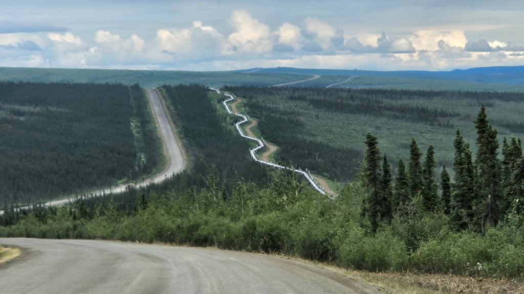
And here we were, considering taking the RV up this infamous highway. But first, I feel compelled to start with the reason the Dalton Highway exists. the Alaska Pipeline. So bear with me as I offer a little background information.
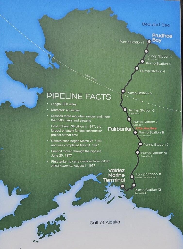
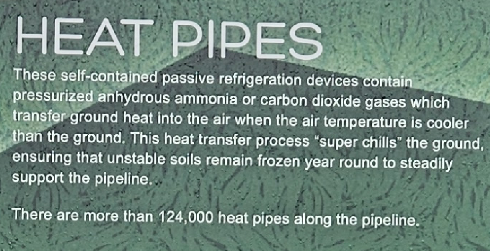
Alaska Pipeline
In Fairbanks, there is a viewpoint where you can get right up to the Alaska Pipeline.

Now that we have some Alaska Pipeline background it’s time to take a ride up the Dalton Highway.
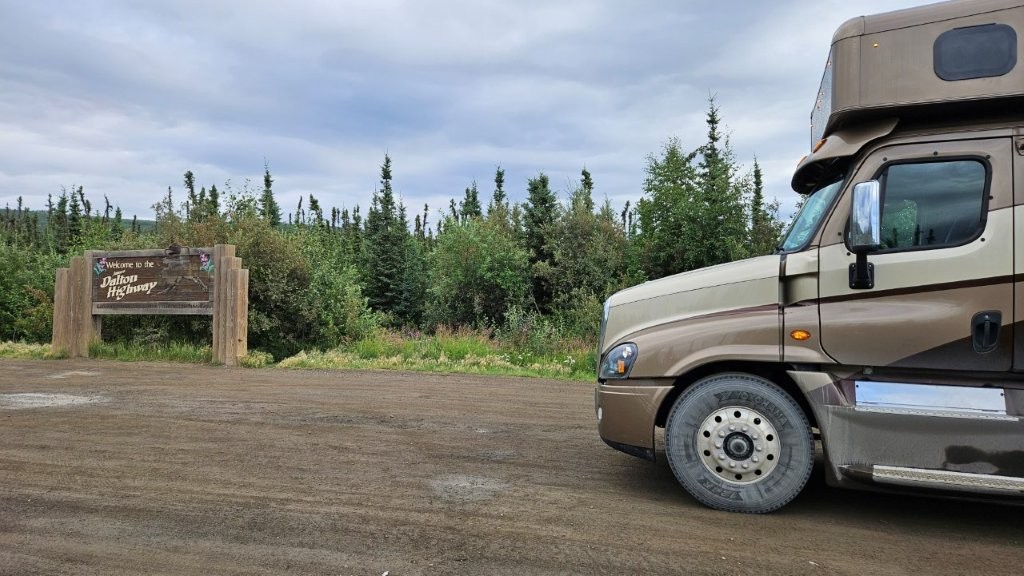
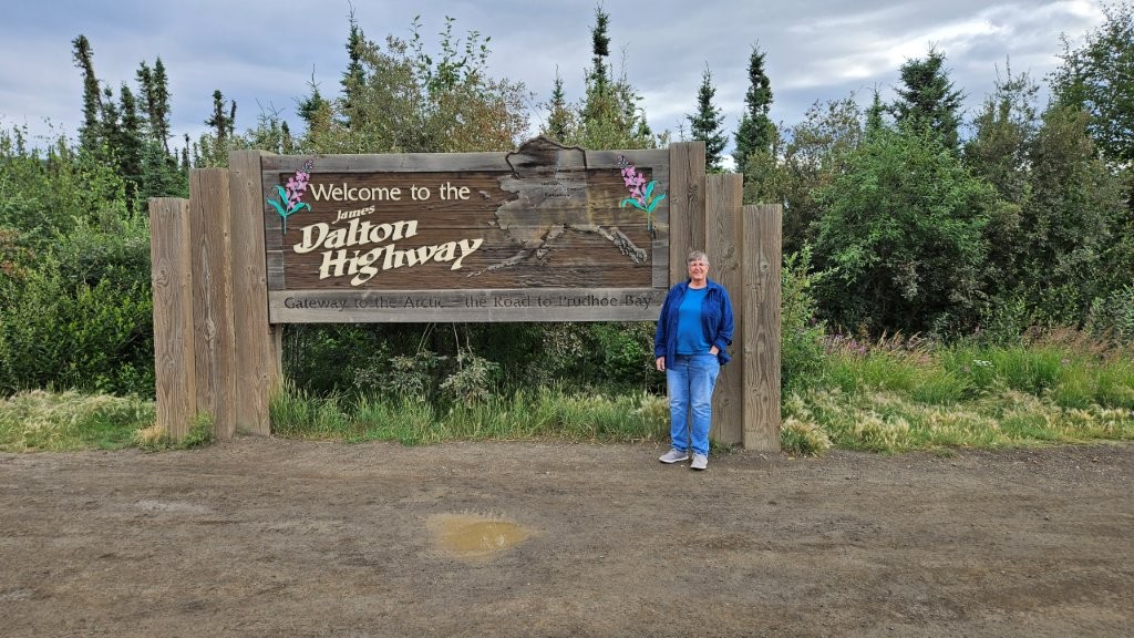
Dalton Highway
In order to build the Alaska Pipeline from Fairbanks northward, they needed a road. And that is how the Dalton Highway came to be starting in 1974. And to this day, the Dalton Highway is the ONLY way by land to get supplies up to Prudhoe Bay. So it is heavily traveled by semi-trucks. HEAVILY! The road is often called the “Haul Road”, because its primary use is to haul supplies.
Another bit of trivia…the names Prudhoe Bay and Deadhorse get used interchangeably. Prudhoe Bay is the name of the body of water next to the land where oil was discovered. During early construction of the oil field site, a company out of Fairbanks called Deadhorse Excavation was brought in to help with the construction. When people would fly into Prudhoe Bay, they would see all the Deadhorse Excavation trucks. Pretty soon people were referring to the airport as Deadhorse Airport and the name stuck.
I was more than a little freaked out about taking our RV on the Dalton. James was pretty chill about it (probably because he’s the one in control when driving the RV). Between the Facebook group and talking to people, we had heard horror stories about the road. Such as…..
- Don’t do it!
- Take extra food, water, air compressor, tire patch kit and bedding.
- Take two spare tires.
- Take extra fuel.
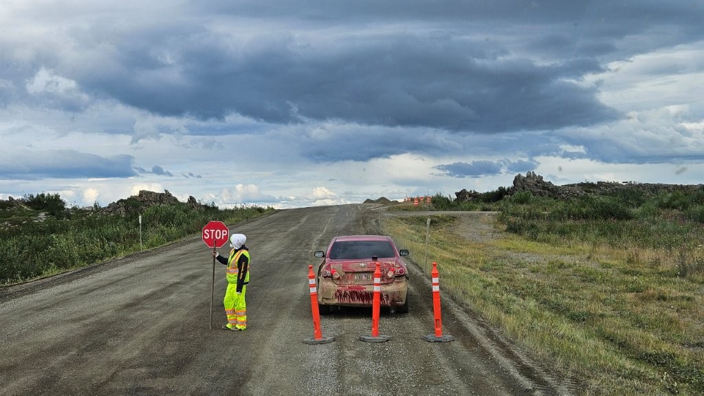
- The truckers will run you off the road.
But we knew we wanted to get to the Arctic Ocean. The fly/drive trip we did to Coldfoot and the Arctic Circle convinced us we could take the RV as far north as Coldfoot. We had been on the road in that uncomfortable tour van. I kept telling myself we could do this.
The first thing we had to do was prepare for the trip. We met up with friends from the RV Rally who also wanted to do the trip to the Arctic Ocean and exchanged plans/ideas/stories/advice. They had had the foresight to order a CB radio off Amazon. We had extra diesel fuel in jerry cans. Since our friends were going a week earlier than us, they borrowed our fuel cans.
Once our friends returned from their successful trip (they did it in three days in their truck, and left their RV in Fairbanks), we purchased their now slightly used CB radio and got our jerry cans back. We stocked up on food and fresh water. We filled all the fuel tanks on the RV and the truck. And we waited for a decent weather window.
Driving the RV to Coldfoot
A decent weather window arrived and we set out early one morning. Getting to the start of the Dalton Highway wasn’t bad, it was only an hour north of Fairbanks and the road was paved.
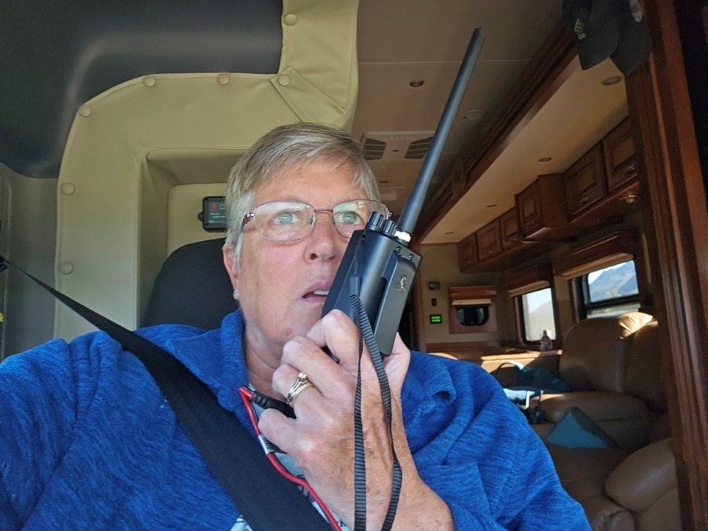
We had learned on our fly/drive trip to the Arctic Circle, that a CB radio is highly recommended. Our tour guides/van drivers were constantly talking to the semi trucks. When they pulled out of a wayside, they would announce “White Van pulling out from the Arctic Circle going southbound.” When a truck came up from behind you, you would say “Southbound driver, I am going to pull over onto the shoulder so you can pass me.” Stuff like that.
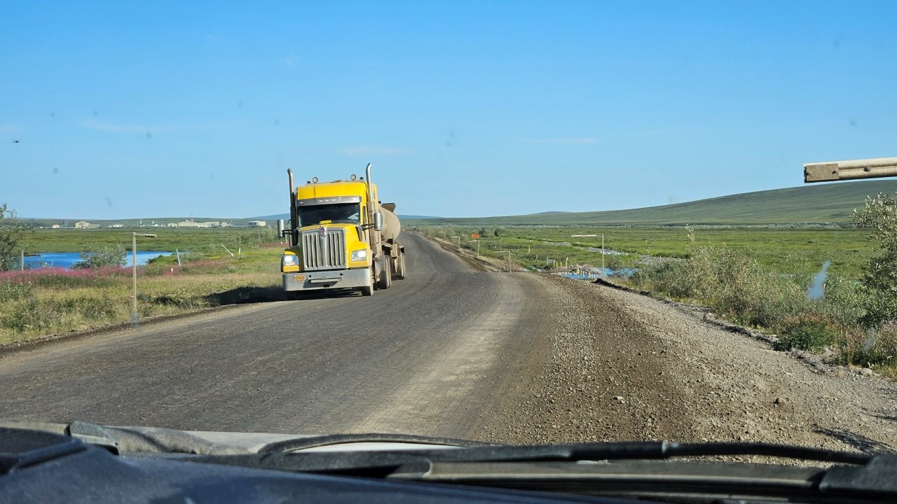
Another form of Haul Road etiquette we learned form the fly/drive tour was to always wave at the semi drivers. You didn’t have to do a huge, arm waving greeting. Just a simple lifting of your hand off the steering wheel to acknowledge the driver. You didn’t want to be rude. So, we waved and they waved back.
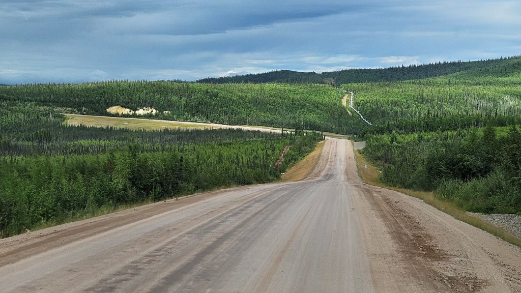
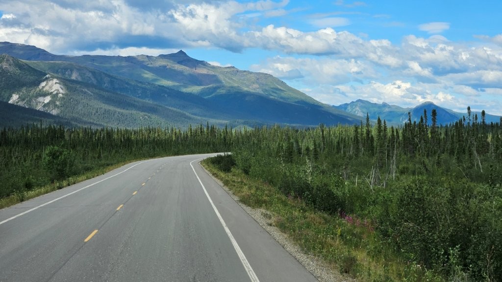
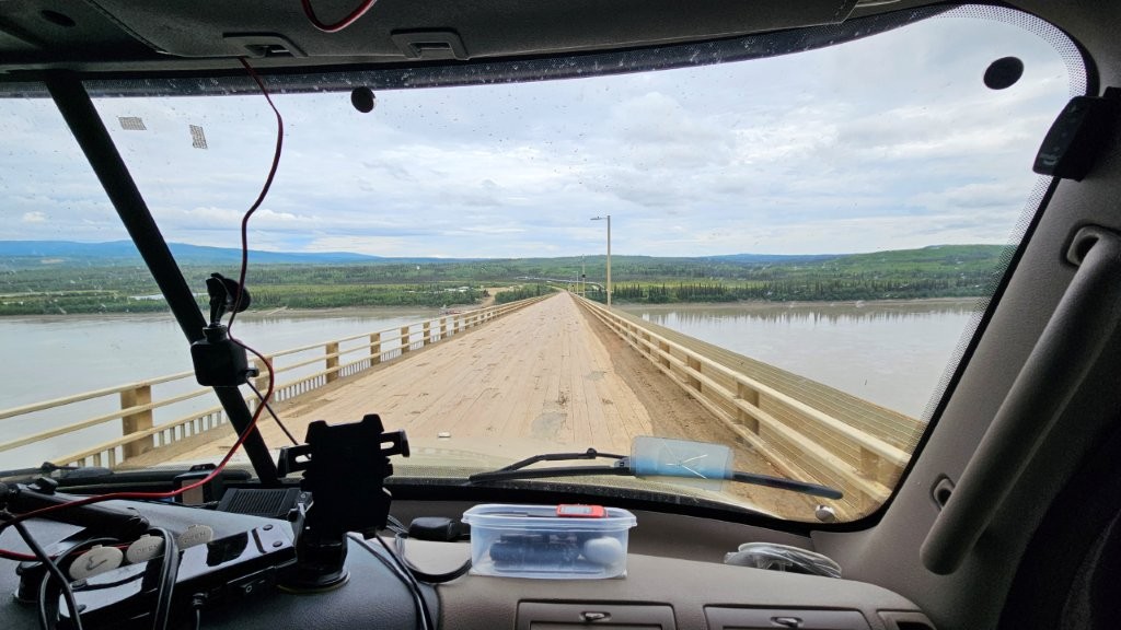
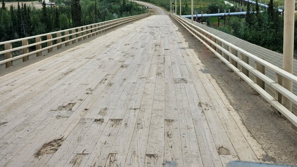
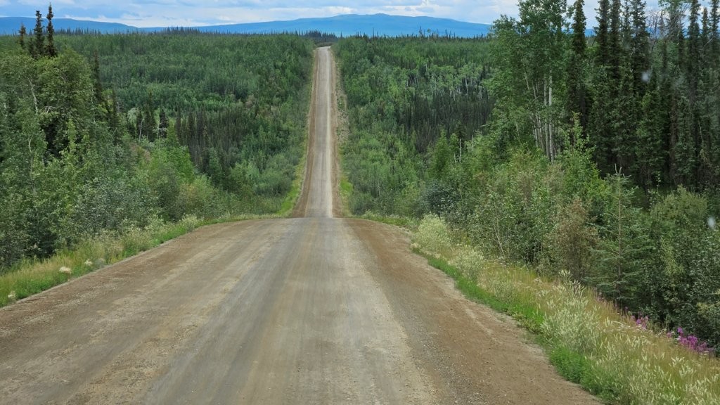
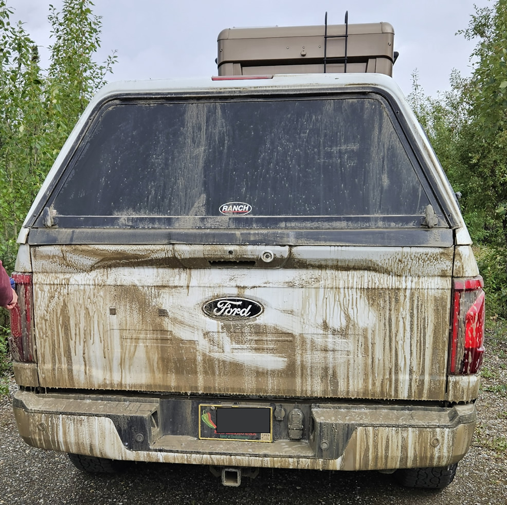
The highway was a combination of packed dirt (most of the time) occasionally interspersed with frost heaved, bumpy asphalt.
So we retraced our route from the previous week, only going northbound this time.
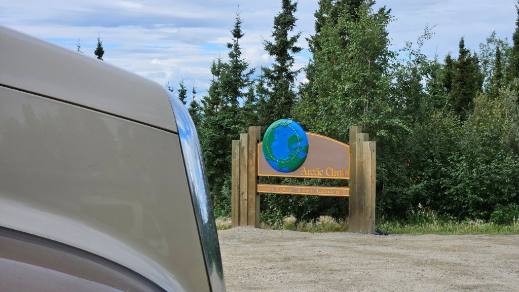
The Arctic Circle…again
It was a long drive, but yes, we have now been to the Arctic Circle twice.
An additional 65 miles saw us arrive at our destination. The 259 mile trip took us nine hours. By the time we arrived, we were both mentally tired. It was hard work navigating that road. But we had survived taking our RV up the Dalton Highway.!!!! James did an excellent job driving. I did an excellent job shouting “Don’t get too close to the shoulder!!!!” Dalton highway shoulders are notoriously soft, a danger for heavy vehicles.
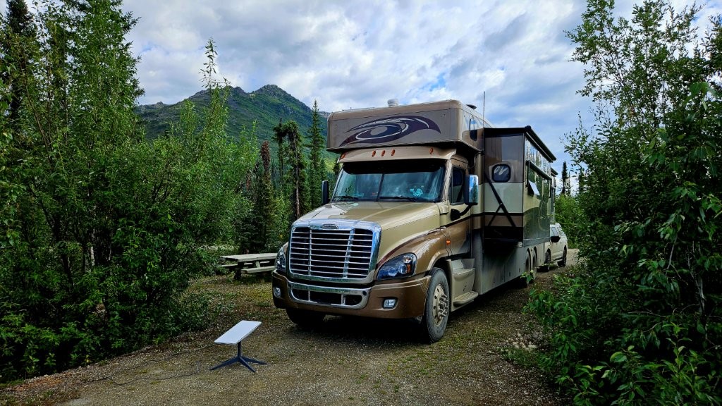
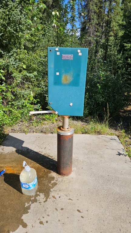
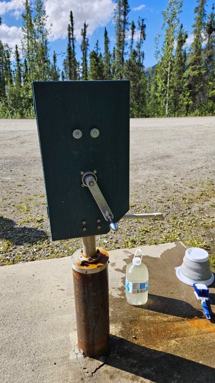
We stayed at the Marion Creek BLM Campground. We loved this campground. No electricity, no cell service. Just us in the woods.
The campground did have potable water, which we made use of. We don’t drink the water out of our RV tanks. You never know what is growing in there.
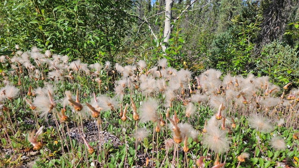
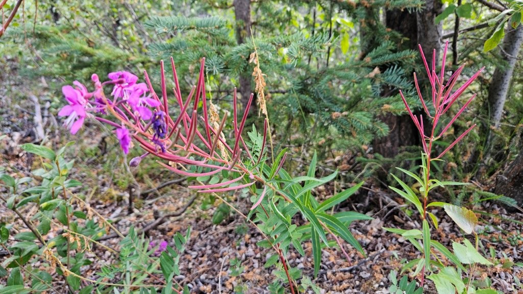
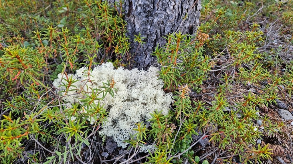
The plants around the campground were stunning.
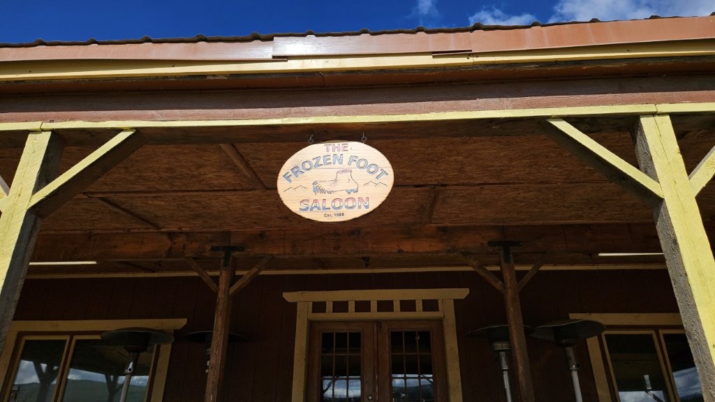
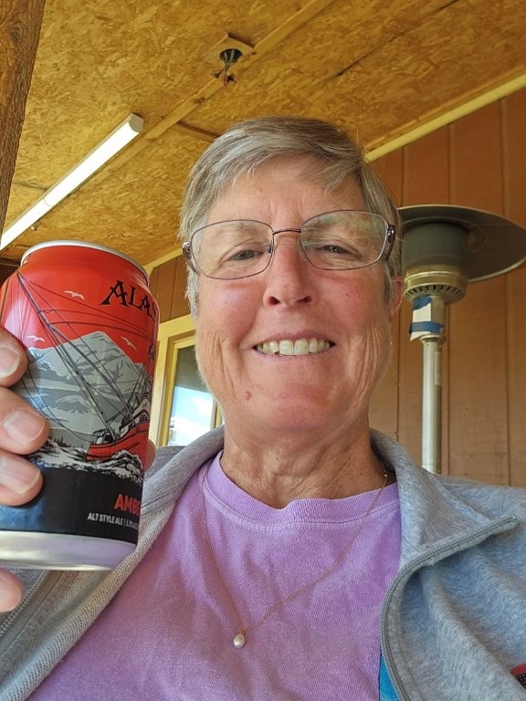
We did wander over to Coldfoot Camp (again), just five miles from the campground. Part of the Camp is the “Northernmost Saloon in the USA.” How could we resist that?
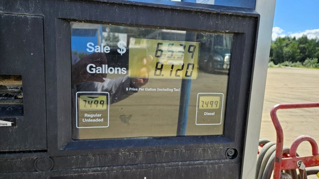
You could get fuel at Coldfoot if you needed some. Fortunately, we were in pretty good shape. The Alaska rule of thumb is to NOT let your tank get below half full.
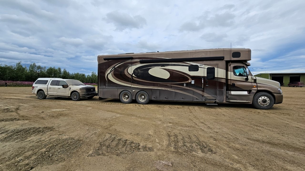
Now we started a waiting game again, looking for a good weather window to drive the rest of the way up the Dalton Highway. The plan was to leave the RV at the campground and take the truck up to Deadhorse. I think we were crazy enough to come as far north as we did with our RV, James would have willingly gone the whole way. We saw a number of truck campers and small Class B RVs on the Dalton. But if you are going to attempt to do it in a big rig like ours, you had better have a solidly build RV or you would likely find all your cabinets shaken off the walls. Fortunately, Sandy is VERY well constructed.
Thus we began the preparations for the push to the Arctic Ocean begin. That drive will be the next blog post.
Hey guys! Halfway there and all shook up! LOL We only made it to the Artic Circle Sign and got the obligatory picture, had a picnic lunch, explored a bit, talked to other weary travelers and headed back to Fairbanks. I don’t remember too many big trucks but do remember the heaves and bumps. We were only in a rental SUV, and we felt every bit of it that’s for sure. Looking forward to the full report in your next blog and when you return!
Linda and Al
Always get an education on your posts! I am enjoying being a voyeur on your adventure!
You know us….just a couple of geeks in a motor home seeing the world! 😉
What bold adventurers you are! I enjoy every post – thanks for your efforts
You are welcome!!! 🙂