The time had come for us to leave Alaska. We had explored the mountains of the Alaska Range and had ventured up to the Arctic Ocean. The only thing left was the Top of the World Highway. We were going to leave Alaska with a BANG!
Let’s get you orientated.
We left Fairbanks for Delta Junction. From there, we took a side trip south to see the Denali Fault Line. Then we headed to the Top of the World Highway and the quirky town of Chicken, eventually ending up in Dawson City, Yukon.
Delta Junction
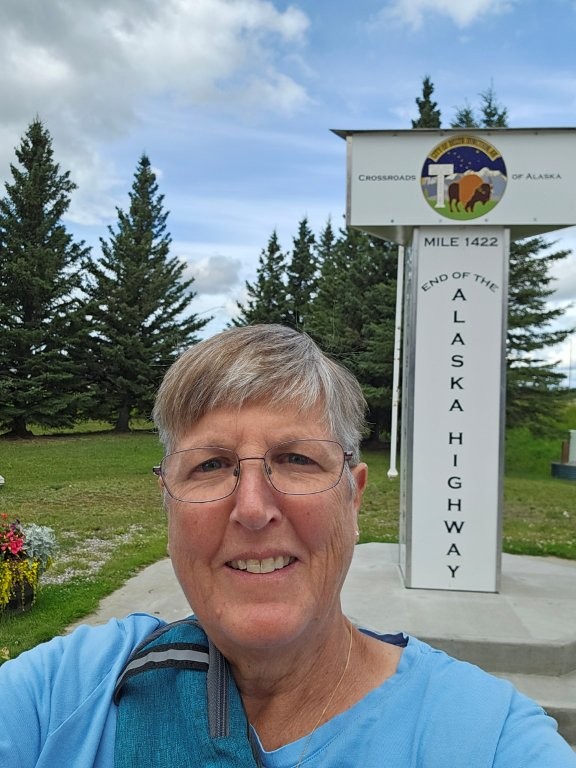
We headed out to Delta Junction, the official end of the Alaska Highway. We bypassed this city when we arrived in Alaska due to our desire to head to the Kenai Peninsula ASAP. But with this stop, he had, officially, traveled the entire Alaska Highway!
End of the Road!
While in Delta Junction, we decided to watch some Alaska YouTube videos that I had queued up, including one called AESF 19: 2002 Mw 7.9 Denali earthquake – pipeline. Got that?
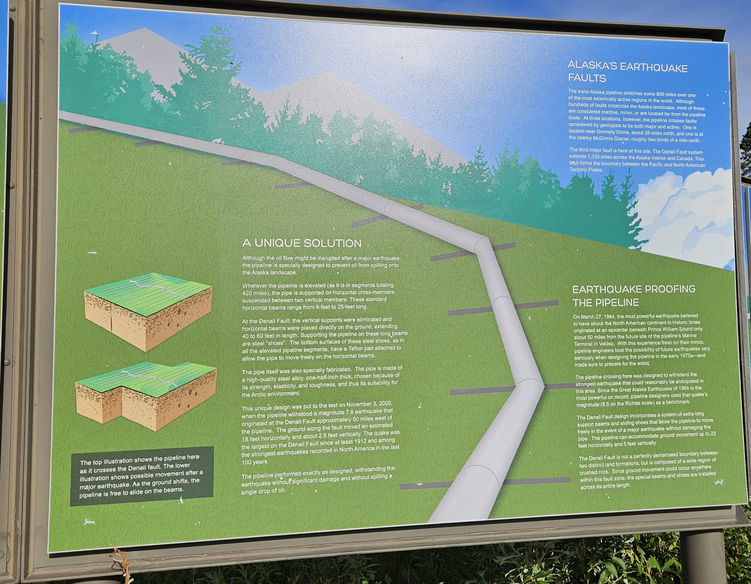
This video clued us into the fact that in 2002 a 7.9 earthquake hit the Denali Fault and the Alaska Pipeline (yup, we are talking the pipeline again…I promise this will be the last time) and the pipeline survived! By design.
The video is at https://youtu.be/TrtSgWtnn_I?si=yvHo9qeNhFZ9lL3u. To be honest, I have no idea why I put this in my queue. It was like watching someone’s thesis defense. But James ate it up. Dave P….I expect a full report from YOU on the video.
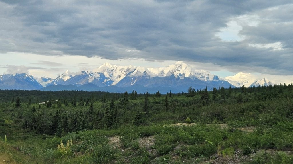
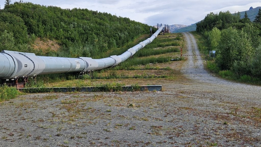
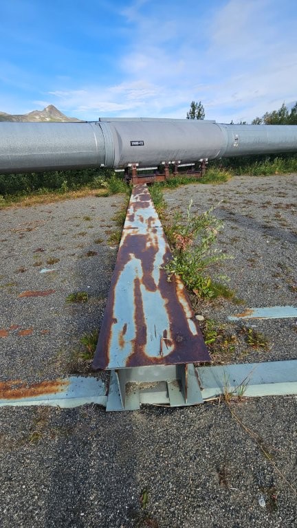
We then realized the pipeline/fault line was only 50 miles south of Delta Junction. So, we quickly decided to take a side trip that morning before we really hit the road.
Once again, we found ourselves approaching the Alaska Range. It was still just as beautiful.This is where the pipeline crosses the Denali Fault. The pipeline sits on these horizontal beams. So when the earth shifted, the pipeline slid sideways along the beams. Looking at the beams from the side.This is the full explanation. I’m not going to try to regurgitate all this for you. If you click on the picture, it should enlarge so you can read it. Just be assured, the pipeline survived a 7.9 earthquake by NOT being constrained.
After satisfying our curiosity about the pipeline (again), we headed to Tok (again) for a few days and then headed for the Top of the World.
Top of the World Highway
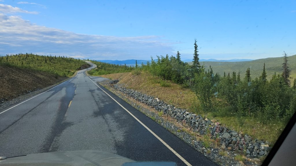
This highway is an alternate way to get into Alaska, bypassing the roughest stretch of the Alaska Highway (Destruction Bay to Tok). Most people take one highway coming into Alaska and the other leaving Alaska.
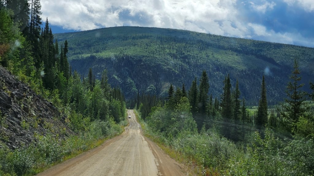
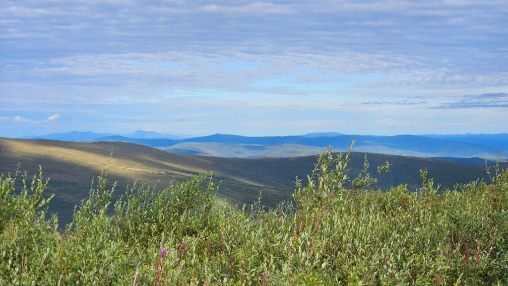
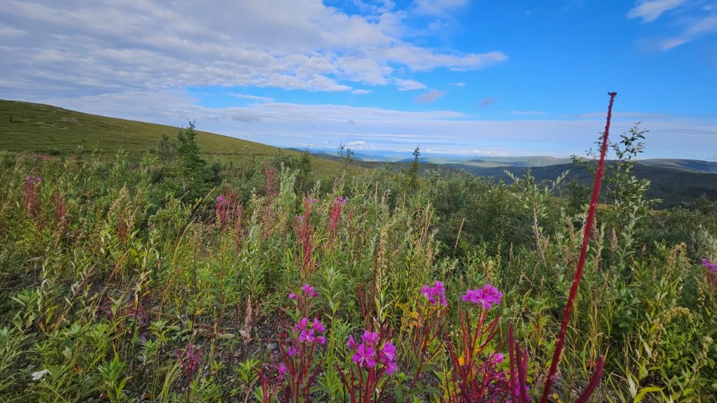
Once again, we were faced with dirt roads for much of the drive. With our obsessive weather forecast watching, we were able to avoid driving the road in rain.No snow covered peaks here, but still just as gorgeous.
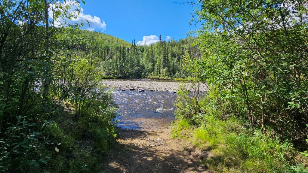
There were a couple of BLM campgrounds early on the drive and we decided to spend a bit of time at both. The second one, Walker Fork BLM had a stream right off our campsite.
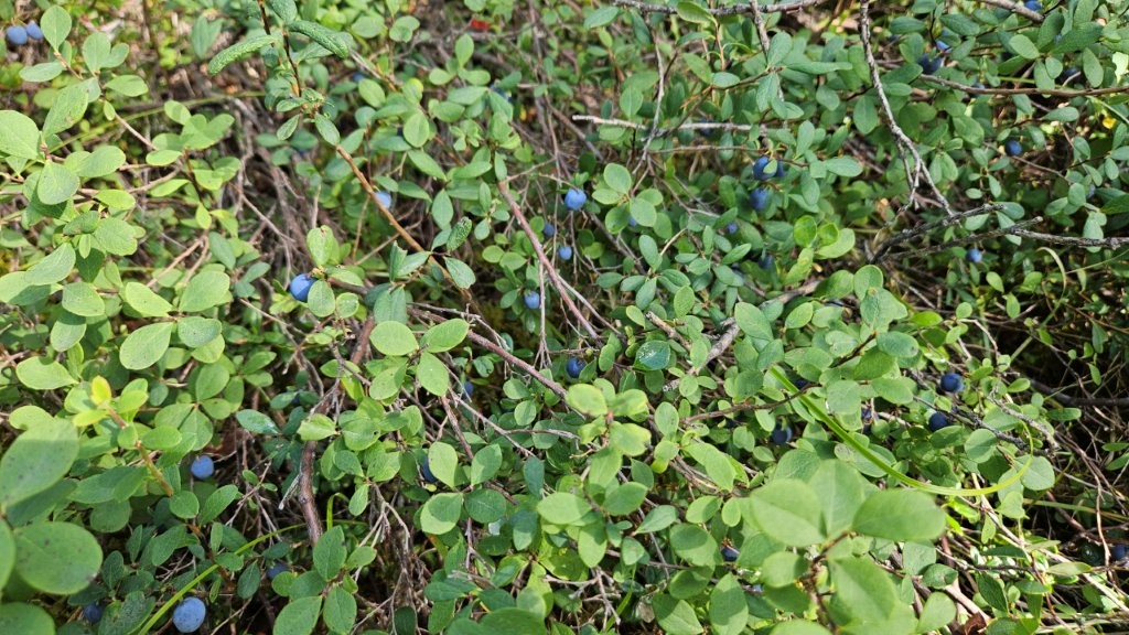
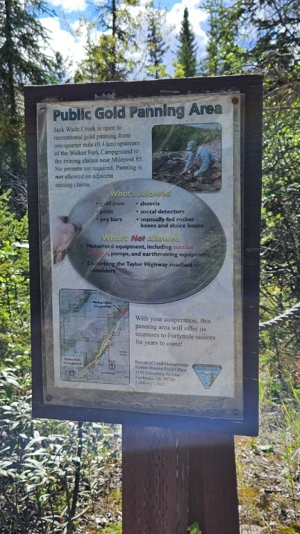
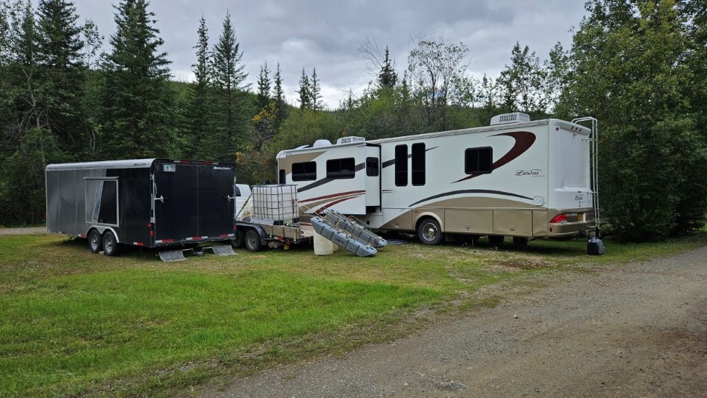
We were told the water was low! Did not look low to us.Blueberries were in season. We munched on a few. But to really gather a significant amount of berries, you would need a blueberry rake.This sign was our first indication that gold mining was about to become a big theme for the next few days.This campsite was our second indication of the existence of gold mining in the region. When we asked why this campsite had so much “stuff,” we were told “Gold Miners!”
Slide Out Issue
Into each life some rain must fall.
Henry Wadsworth Longfellow
I guess it finally rained on us. Figuratively.
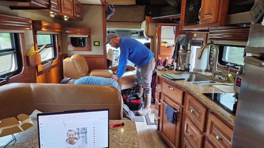
When we arrived at Walker Fork BLM campground, we found our living area slide out would only extend halfway. Uh oh! Just the night before we had visited with Shaun and Ana at the prior BLM campgroud. Shaun was at the July RV Rally, is a BLM Ranger AND a mobile RV tech. We knew he was headed our way, so we reached out and cried “Help!”
By the time Shaun arrived, we had a pretty good idea what was going on. Our slide out moves via electric motors and lead screws. There is rubber weather stripping that protects the screws…it works great UNTIL the weather stripping rips loose and starts to wrap around the lead screw. This had happened before on the slide out and we were able unwrap the rubber from the lead screw from underneath the slide. It was not so easy this time, we needed to get at the lead screw from the top.
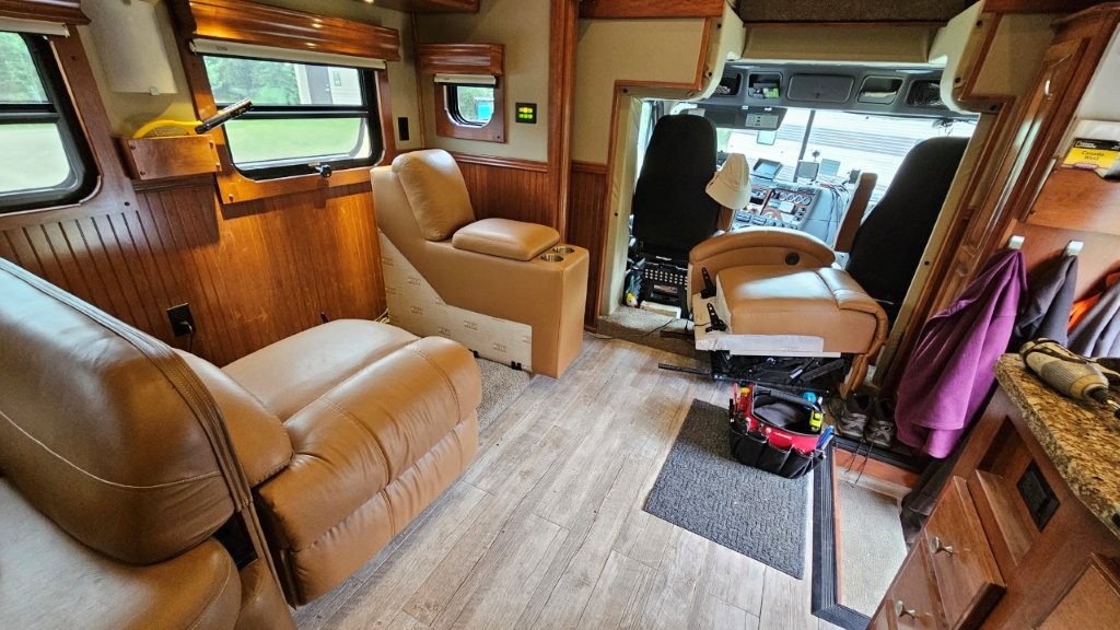
We now have recliners in the RV (installed last October to replace the awful jackknife sofa). Of course, the access opening to the lead screw was under the recliners.
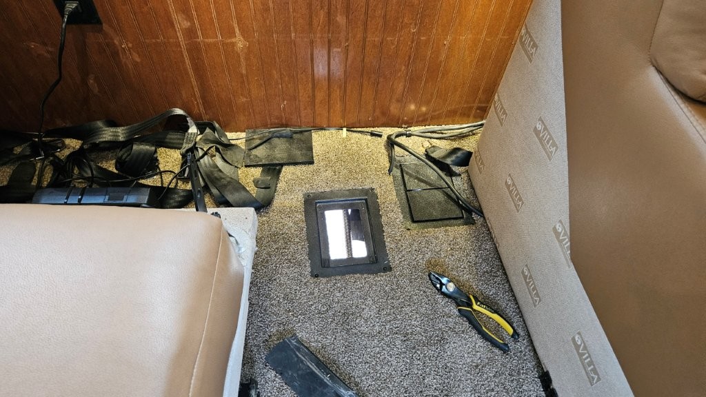
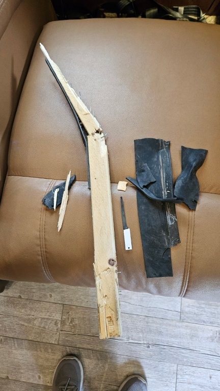
James and Shaun did some head scratching to try and figure how to get the recliners out. It was a Friday afternoon and all the worker bees at Showhauler were gone for the weekend. But I remembered the recliner manufacturer was out of California. We made a quick phone call and got enough of an explanation to remove the recliners. Thank goodness this furniture comes in pieces.Then it was time to figure out how much rubber was wrapped around the lead screw.There we go! The guys opened the cover and could see the screw and the rubber wrapped around itThey pulled out a piece of wood that the rubber was attached to, the rubber, and even a small saw blade. Ugh.
When we go back to Showhauler, we’ll show them these pictures. This should have never happened. And a few days later, it happened again, more rubber wrapped around! But this time, James and I were able to remove the recliner ourselves and remove the remaining ripped up rubber weather stripping. It’s now been a week without further problems. Our fingers are crossed.
Chicken
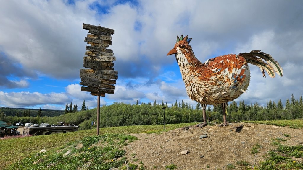
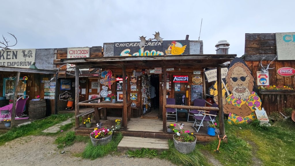
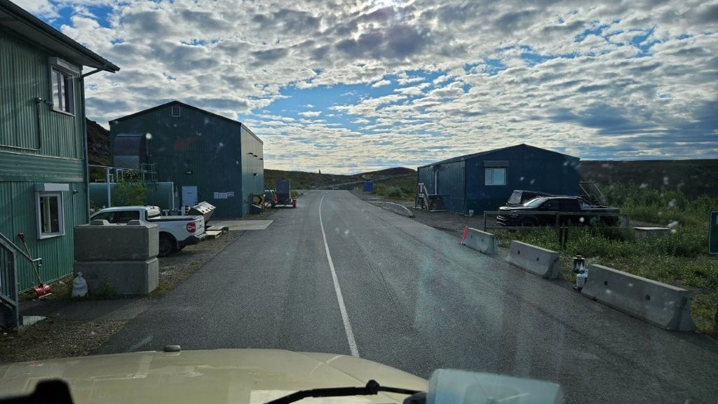
It was time to have some fun. Along the Top of the World Highway, is the VERY QUIRKY town of Chicken, Alaska. Chicken? Apparently the founding fathers wanted to call the town Ptarmigan (after a native bird), but they couldn’t spell the word. But Ptarmigans are the “chickens of Alaska.” So Chicken it was. Since then, it’s become a destination in Alaska, even though the population is only 17 year round. You’ll find more people there in the summer with the tourists and gold miners.
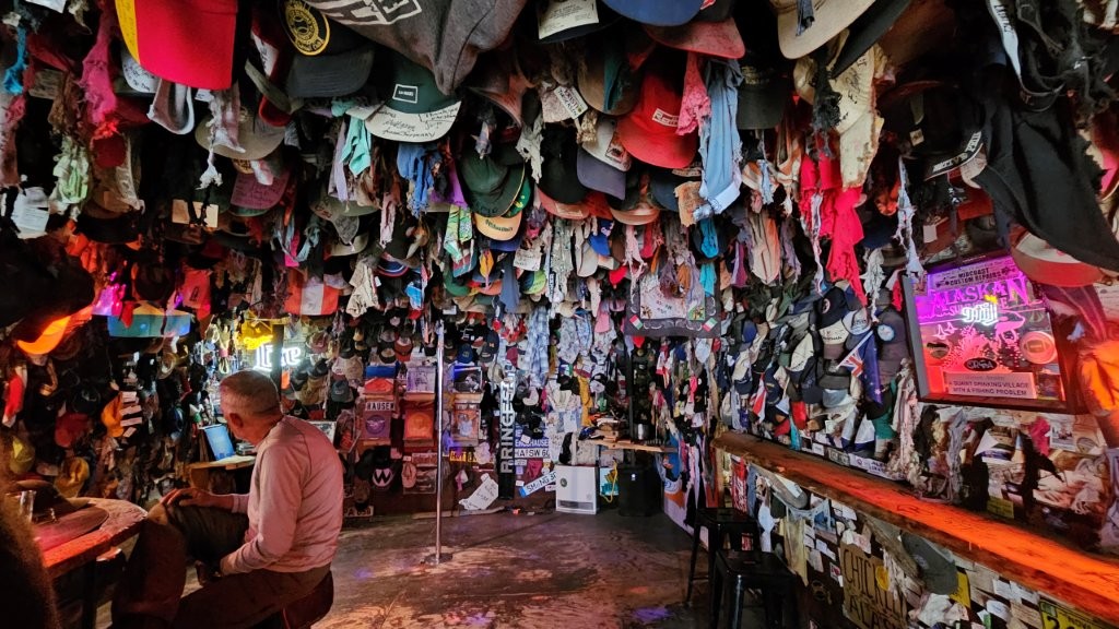
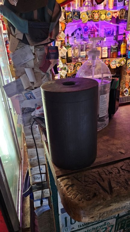
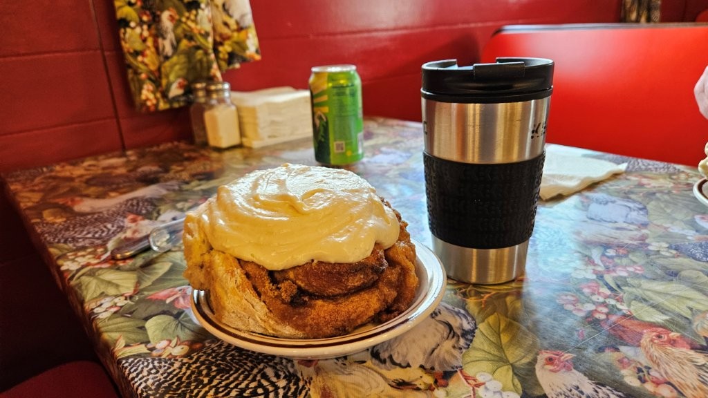
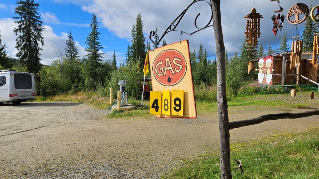
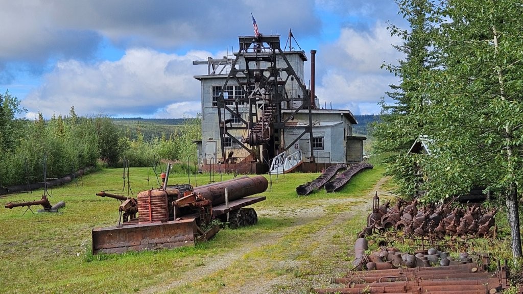
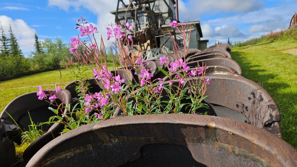
Las Cruces may have its famous roadrunner made of recycled materials (this link will take you to a picture of the roadrunner if you have never seen it). Chicken has a chicken made of old school lockers!This is the Chicken Creek Saloon, one of three businesses in Chicken.Inside the Saloon, tacked to the ceiling, are old hats and…could that be???? Underwear!Yes, it’s underwear. This black device is called the “Panty Cannon”. We did not see it in action, so I have no idea how it works other than it involves some black powder. I’ll let others google it if they wish. Knowing even this much is TMI (Too Much Information) for me!We stopped back the next morning for the Chicken Cafe’s famous (and huge) cinnamon rolls.You can buy gas in Chicken. How often do you see the price of fuel advertised like this? At least it’s cheaper than fuel on the Dalton Highway.Chicken also has an old gold mining dredge in the town. More on dredges in the next blog post.With the dredge buckets now unused, Fireweed was taking up residence.
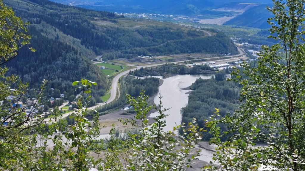
After three nights in the Chicken area, it was time to leave the interior of Alaska. We weren’t far from the Canadian border.
Someone actually paved this section of the highway!This highway was at the top of a ridge line. We had far off vistas the entire way.Fireweed giving us one last show before the petals drop.And just like that, it was “Welcome to Canada” and “Good-bye Alaska.” US and Canadian customs share a facility here in the MIDDLE OF NOWHERE!!!! This border crossing is only open during the day and only in the summer. In the winter, this road is completely closed down.
Crossing the Yukon River
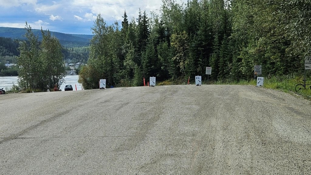
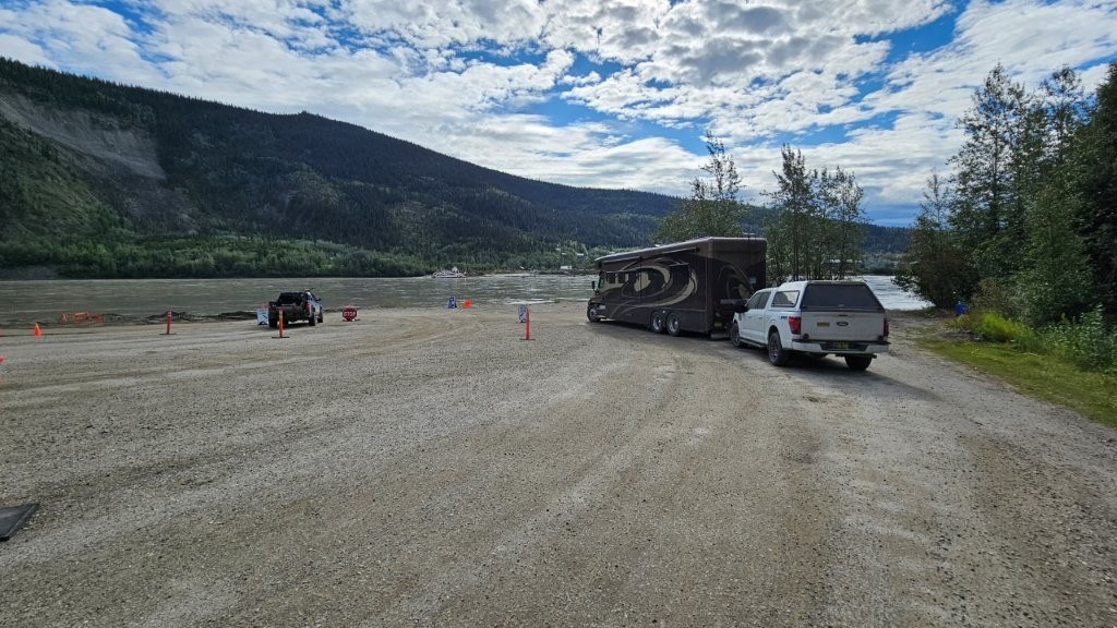
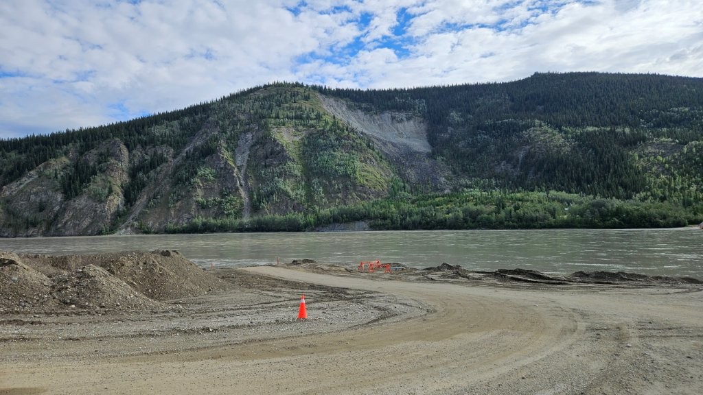
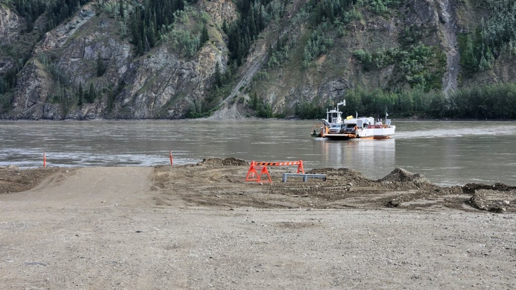
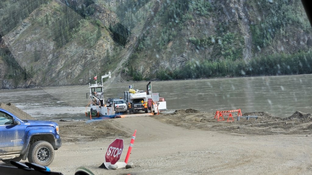
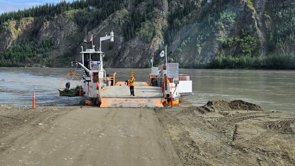
We had our sights on Dawson City in the Yukon. To get there, we had to cross the Yukon River, but there is NO BRIDGE!
The Mighty Yukon. This river is 1980 miles long and is the longest river in the Yukon and Alaska.
Fortunately, the Canadian Highway System has included a free ferry for travelers to use.
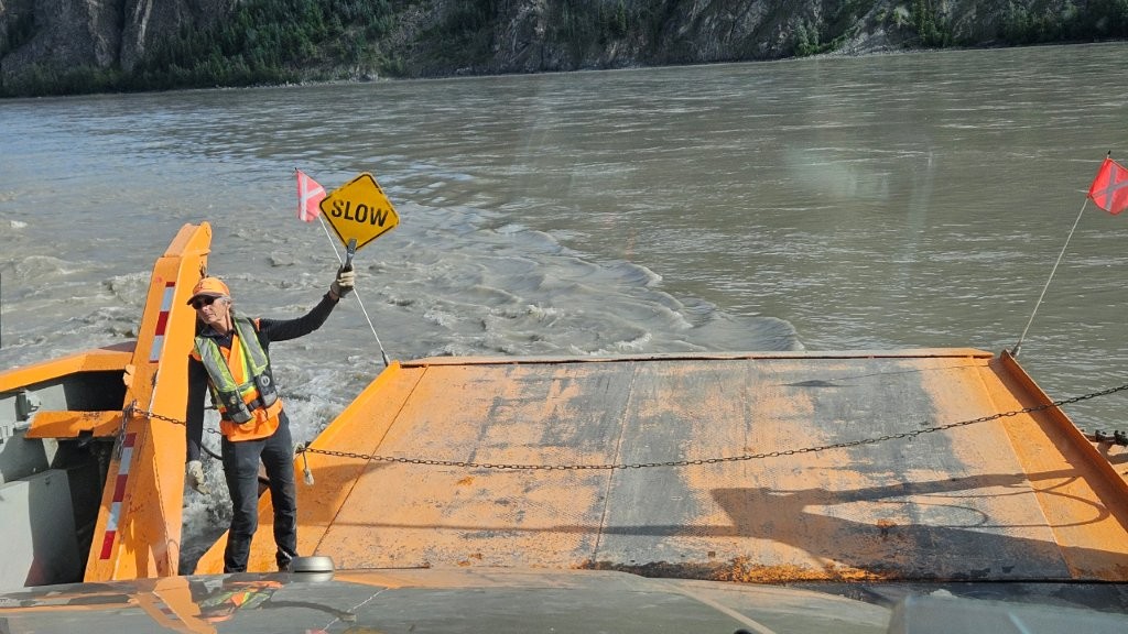
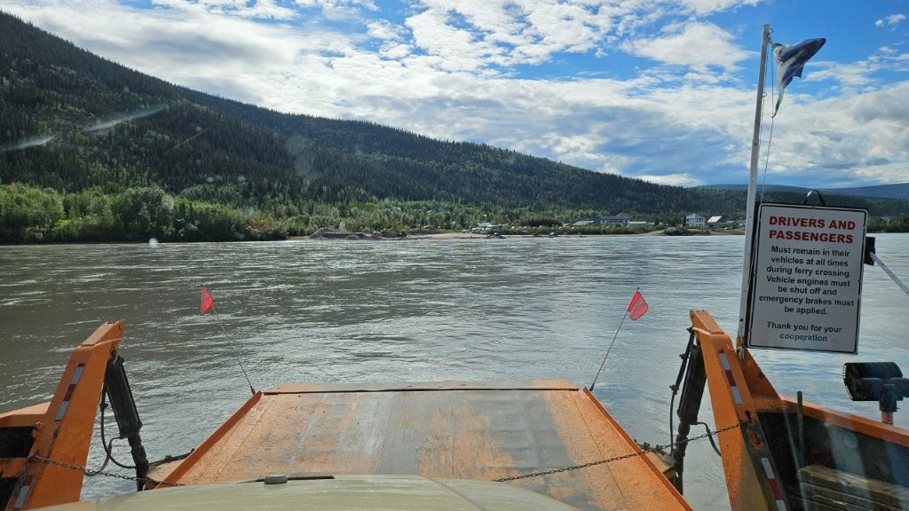
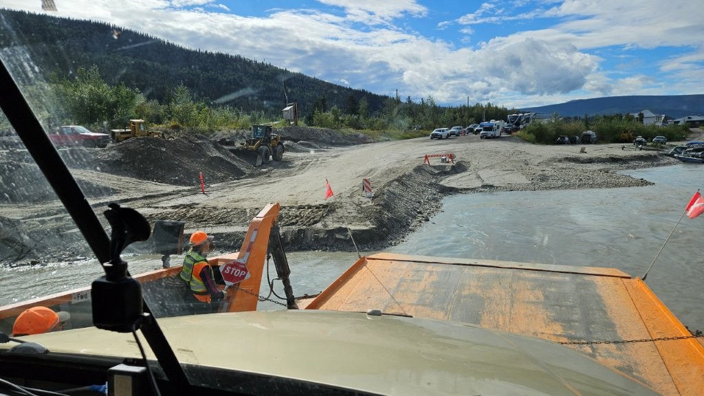
RVs line up on the right.We had the Blue Flame, our previous RV on ferries many times, but this would be Sandy’s first ferry ride. But first we had to wait. We were fortunate to be there early enough in the day that there wasn’t a line. Later in the day, it could take an hour or so to get on the ferry.This is the approach to the ferry, once it arrives. All dirt! I suspect winter ice could really wreak havoc on a permanent concrete ramp.The smallish ferry arrived after making a seven minute crossing. The river flows pretty quickly, so it takes some skill to hit the ramp with the boat.This trip had an RV and maybe three cars on it.Our turn! We wondered how many vehicles they could fit on the ferry with us.How many with us? ZERO! Our RV and our towed truck was all they could/would fit They had James center the RV on the boat. With our gross vehicle weight of 55,000 pounds (RV and truck combined), it was probably a smart thing to do.We pulled forward some more and they put up a chain to keep us from driving off. As if that little chain could stop our RV! Unfortunately, they don’t let you out of your vehicle during the crossing. I wish I had a picture of our rig on this ferry boat.Seven minutes later, we were approaching the ramp (again dirt) on the other side. These ferry operators really know what they are doing.
We drove off the boat and we were in Dawson City, the heart of the Klondike Gold Rush. But that’s the next blog post.


Love it! that would be a great pic of your vehicles taking up the entire ferry. Looks like a great way to see the other side of the yukon!