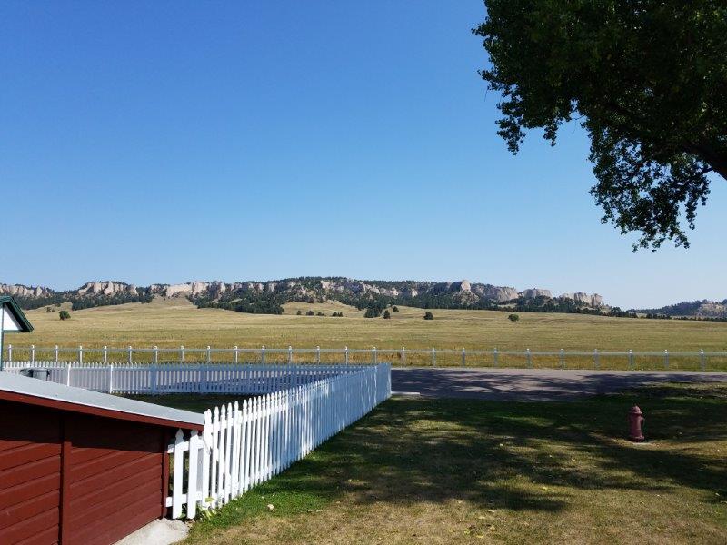
Fort Robinson State Park, Nebraska
Now that the solar eclipse is past, we don’t have a firm date to be anywhere until early October. It’s time to wander the country! We left Stapleton in eastern Nebraska and set out for Fort Robinson State Park in western Nebraska.
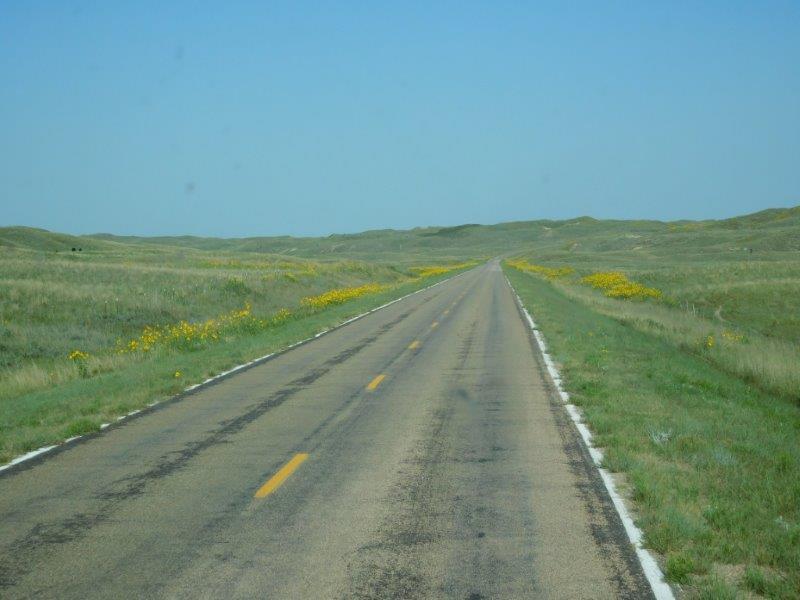
Sometimes the back road are the best roads.
Fort Robinson was used by the US Army from the Indian Wars onward. It is now a state park on the southern edge of the badlands. It’s a nice enough state park, although when you have to buy a park sticker for a motor home AND a car, it gets to be pricey. Still, we were happy to have full hookups after the dry camping for the eclipse. We were able to dump our tanks, fill up with water, and run the air conditioners!!!
This end of Nebraska was definitely different from the eastern end.
Fort Robinson was once a prison for Native Americans. Sad.
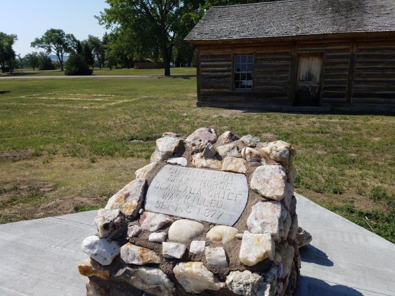
The Native American Chief Crazy Horse was killed here during an uprising.
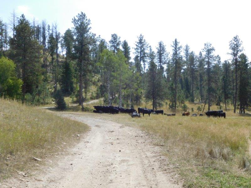
Fort Robinson has one of the largest bison herds in the country. We took a drive through it and sure enough, we saw bison!
A view from the road through the Bison Pasture.
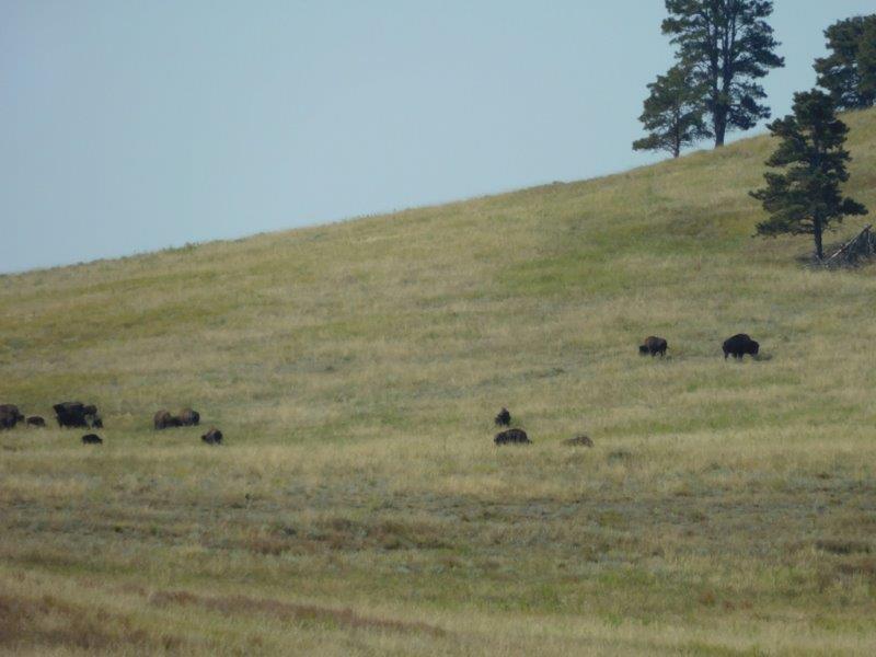
Bison!
One of the real attractions of this part of the country are the fossil beds and geological formations. So we took a day to explore them.
Agate Fossil Beds
When a drought struck western Nebraska, a large number of animals died around a watering hole…65 million years ago! Over time their skeletons were buried and remained that way until the early 1900s. The fossil beds were excavated and animals from the Cenozoic Era were discovered. They have all been excavated now and are in museums around the world. The area is now a National Monument (which had 15,000 visitors for the eclipse…the park rangers were still reeling from it!).
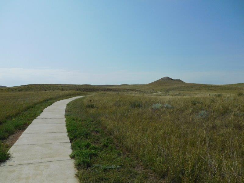
Path to the fossil beds.
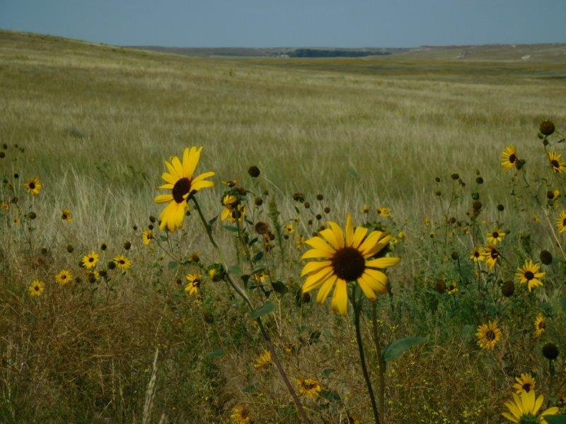
I’m a sucker for a pretty flower on a prairie.
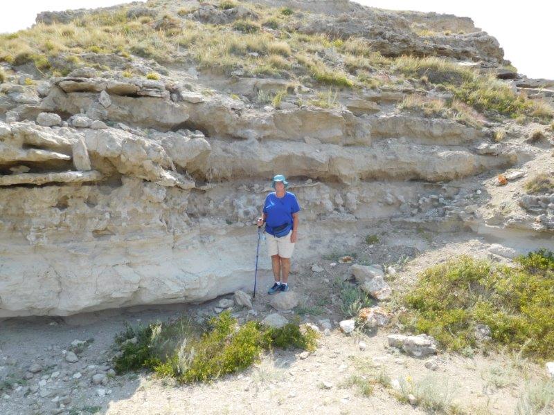
Standing in front of one of the fossil beds (now empty of skeletons). It was HOT!
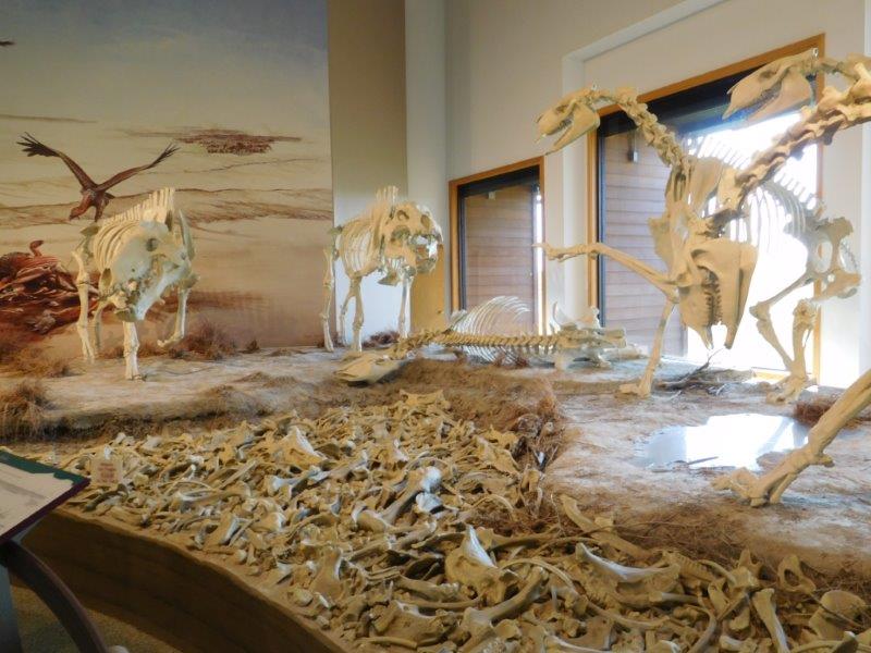
A representation of the fossils found.
Hudson-Meng Bison Kill Building
Next up was a bison kill site. Discovered in 1954 while digging a pond, there is a permanent structure over the dig site. Digging is no longer going on, instead this site is used to education people. They estimate there are 600 bison skeletons here from 10,00 years ago. Scientists still haven’t figured out why they are all here.
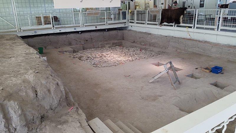
Inside the Hudson-Meng Bison Kill Building.
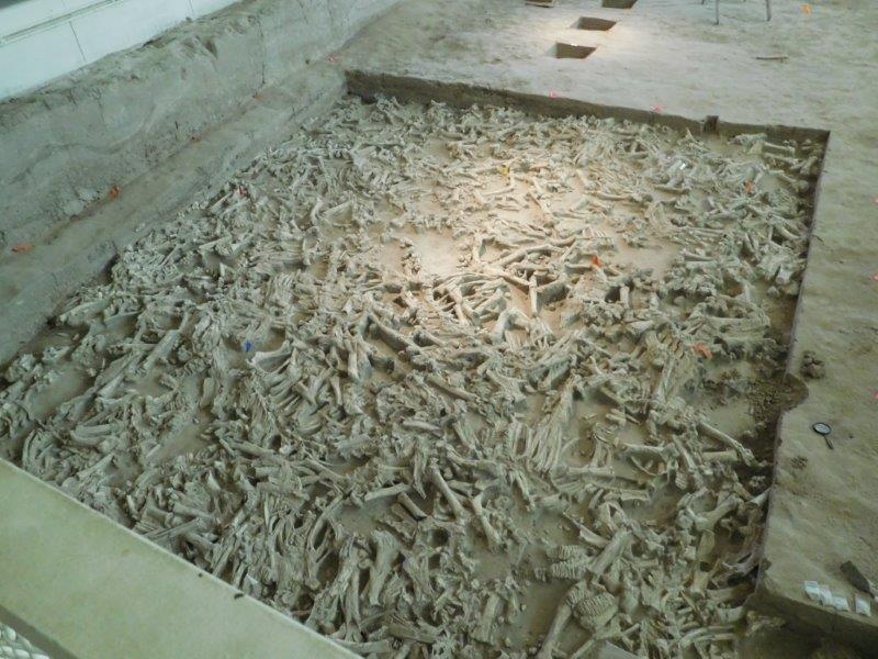
Excavated bison bones.
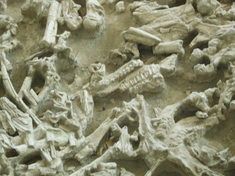
Can you spot the bison jaw?
Toadstool Geological Park
The final destination that day was Toadstool Geological Park. Over time wind has worn away soft sandstone and left an upper layer of harder rock. The formations appear to be toadstools! This is right on the southern edge of the Badlands, and it looked it. Did I mention it was HOT???
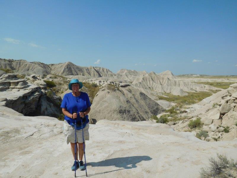
Toadstool Geological Park on the edge of the Badlands and another hot hike.
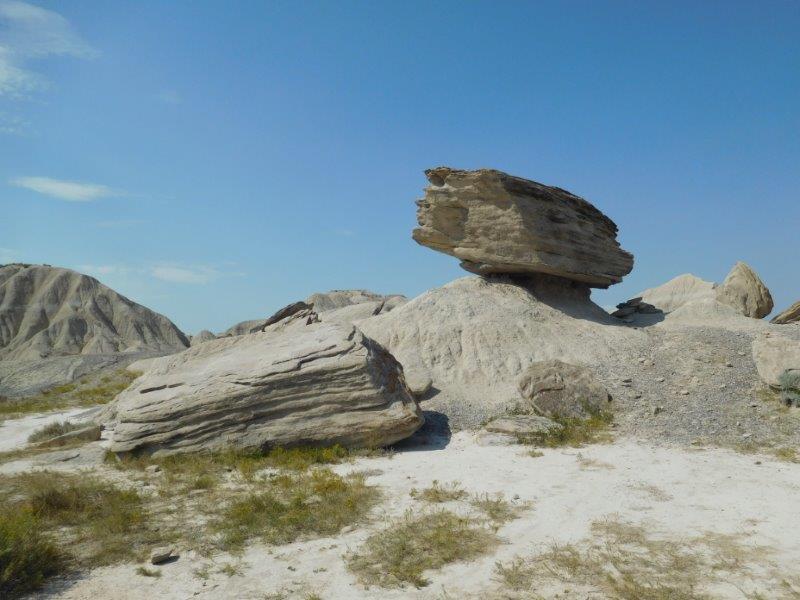
Does it look like a toadstool?
Black Hills
At this point, we wanted to sit still for more than 2 days. Plus Labor Day was coming up and you don’t want to be caught without a campground reservation over Labor Day. Thus, we found the Rafter J Bar Ranch RV Resort in Hill City, central to the Black Hills of South Dakota. The place had a pool, a hot tub, and gorgeous scenery. Sign me up please!
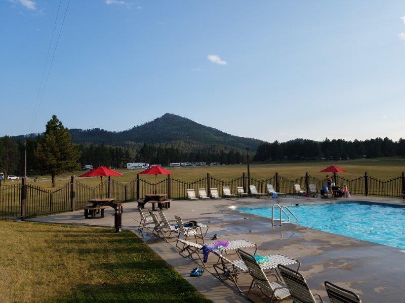
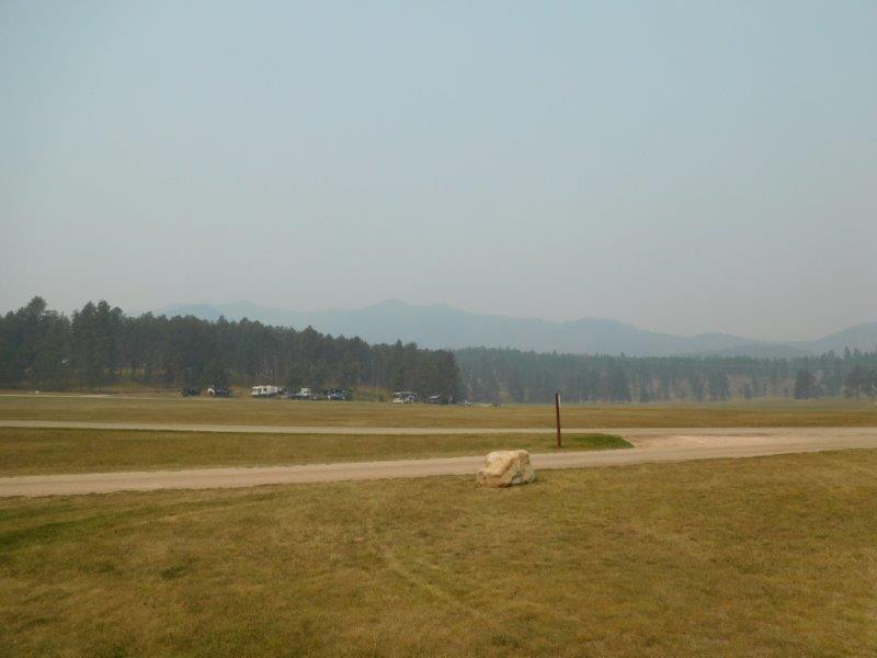
This was the view from the hot tub. Can you spot the Blue Flame…between the two red umbrellas?
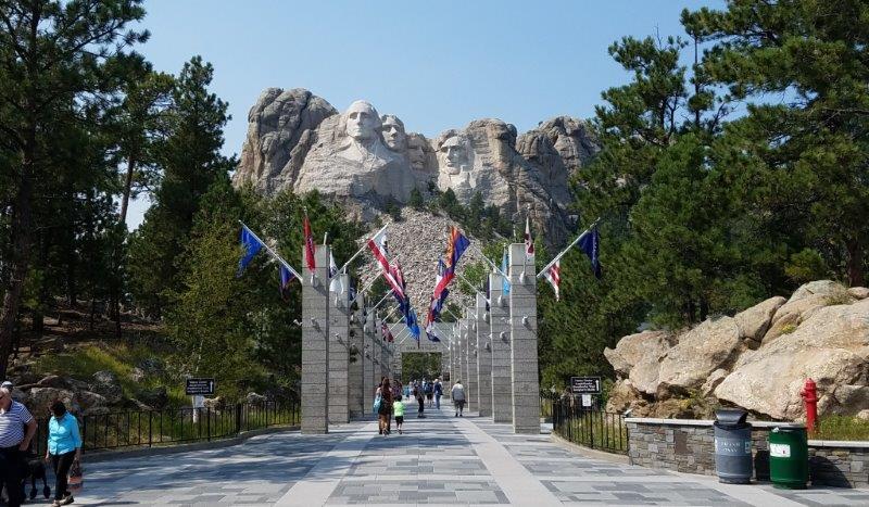
Of course, a visit to Mt. Rushmore was in order.
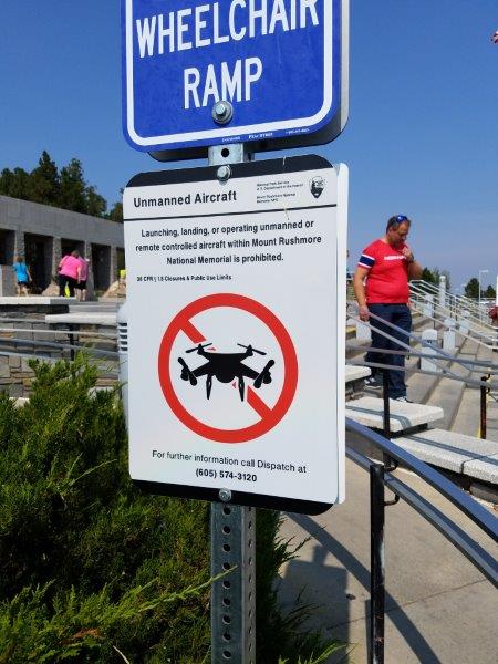
No drones allowed at Mt. Rushmore. Who knew this was a thing?
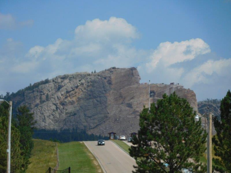
Crazy Horse is being memorialized in stone. This is the third time I’ve seen the Crazy Horse Monument. The first time was in around 1970. I may have to find a picture from then in my parent’s photo album. Back then all you could see was the hole under his arm…no face!
Custer State Park
We took a day and drove through Custer State Park. This place was unique. The gentleman that placed the roads did it such as to maximize your views of Mt. Rushmore. He started with three Pigtail Bridges that circled back on themselves.

Pigtail bridge
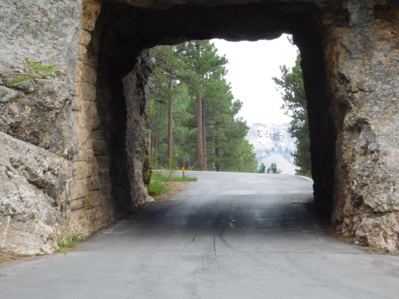
Then he placed tunnels such that when you drove through them you had a view of Mt. Rushmore!
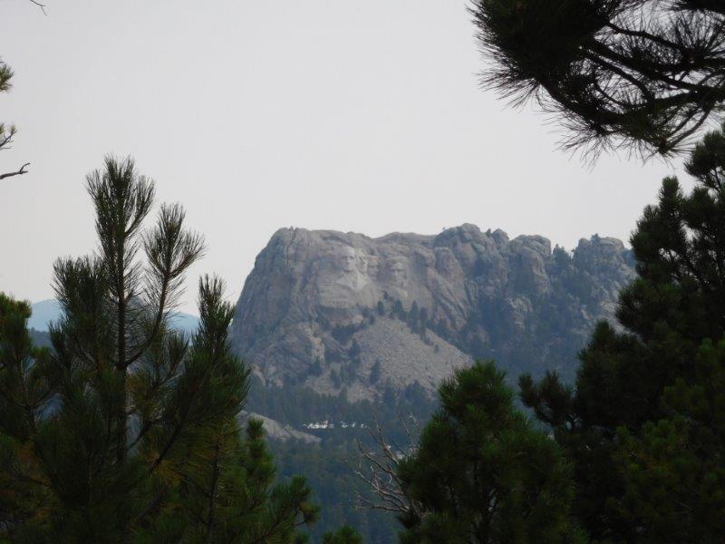
There were a number of places to park, again with views of Mt. Rushmore. Someone has the job of clearing the trees so the views are unobstructed.
There is a road through the park called the Wildlife Loop. So off we drove to see the wildlife.
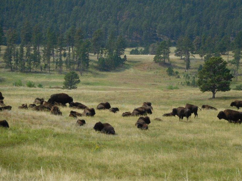
The Custer State Park Bison herd
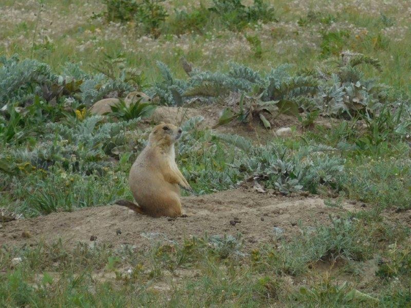
Prairie Dogs are so much fun to watch.
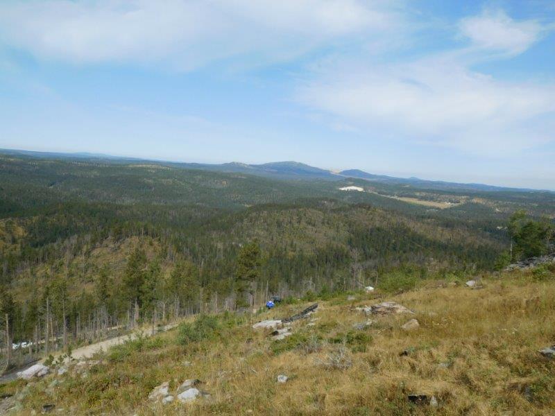
We were allowed to drive up to a mountain that had a fire tower and a bunch of communication antennas on it. Unbelievable! The fire tower was manned, it was so hot and dry.
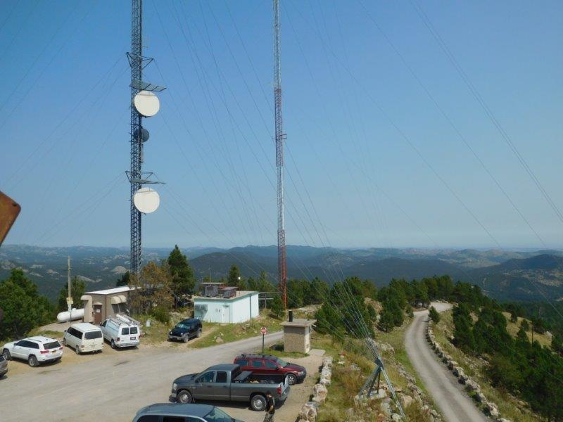
View from the fire tower. There were lots of antennas here. You could also see Mt. Rushmore, Crazy Horse, the Badlands, and an Air Force Base.
The final road in the park to explore was the Needles Highway. The rock formations here look like, well, needles!
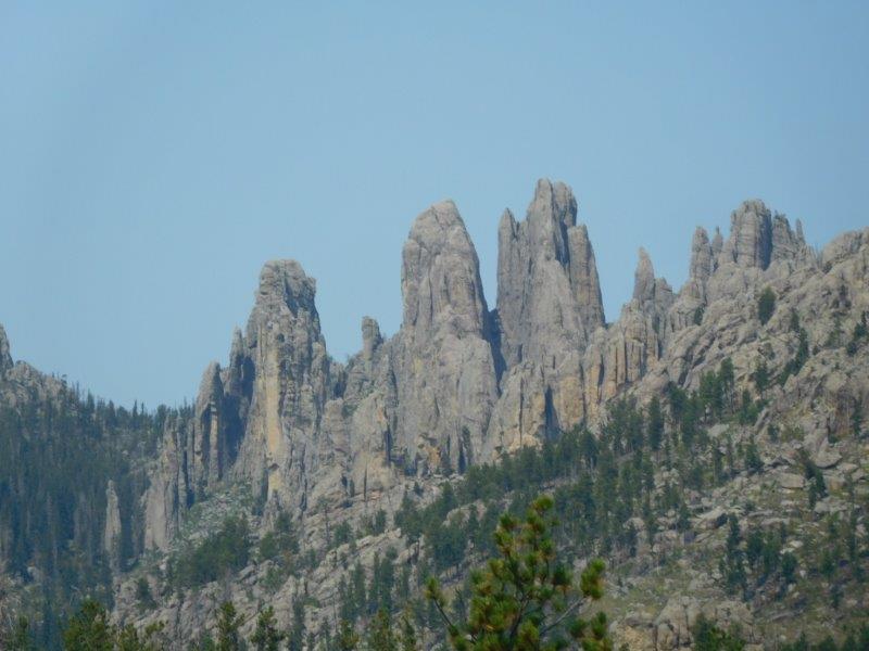
The Needles
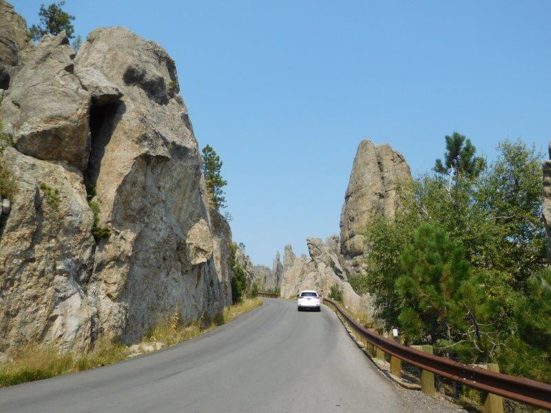
Needles Highway
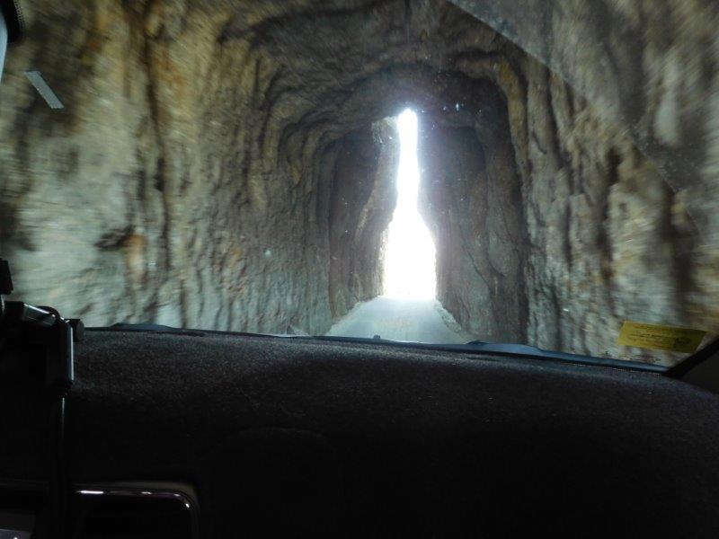
This is Needle Eye tunnel. It was one lane wide and people were lined up on both sides to get through it. Only in America!
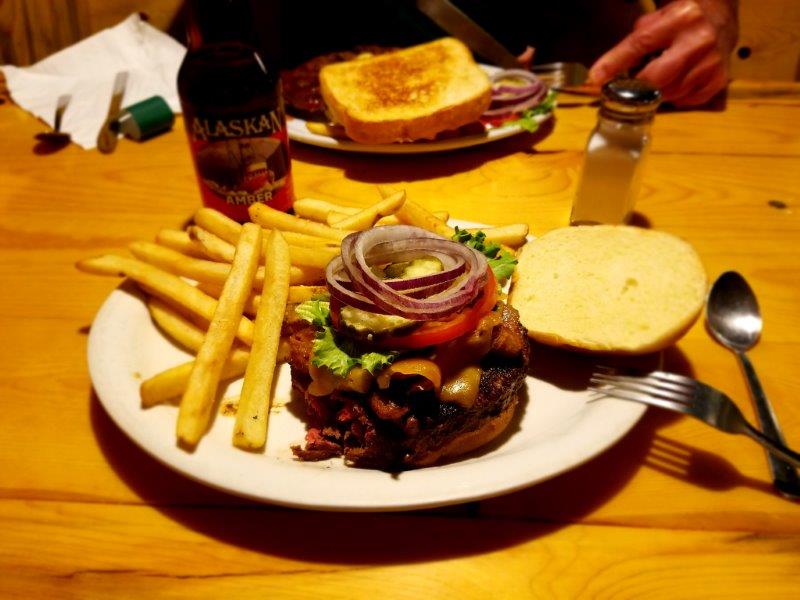
I have to include another food picture. I had a bison-elk burger on trip into Hill City. It tasted like hamburger!
About this time, all the wildfires in the west started to flare up. There was one day it was so bad, I stayed inside the RV (and quilted, of course). See the before and after pictures below.
This was the view from the RV of the surrounding hills the day we arrived.
This is the same view a week later. It was hard to breathe and didn’t smell that great. Fortunately, it was this bad only a couple of days. I can’t imagine being in Montana or Oregon though. Yikes.
Deadwood
We prolonged our visit to the Black Hills a few more days because…we wanted to rent a UTV! A UTV is a Utility Task Vehicle. It should be called a Let’s-use-up-fossil-fuels-to-tour-the-Black-Hills-National-Forest Vehicle. There were so many of these around, we had to try it. We found a place in Deadwood that seemed like a good place to rent one. Since the hot tub at the fancy RV resort was closing after Labor Day, we stayed at a much cheaper campground right next to the Black Hills Off Road Rentals office.
We reported at 8:00 a.m. for our instructions, credit card in hand. It was only 37 degrees. We looked like we were going snowmobiling (which they rent in the winter). By the afternoon, it was 77 degrees and we were in short sleeves.
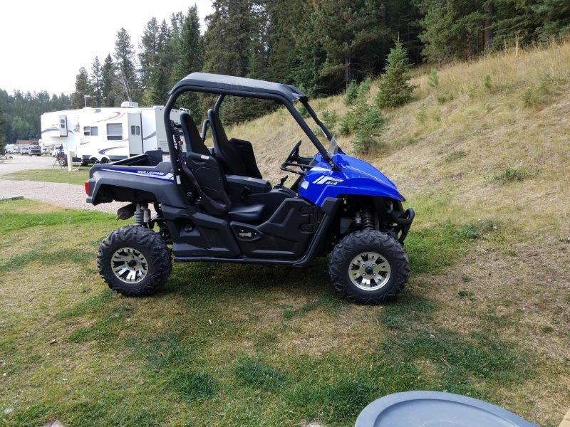
This was our ride, a Yamaha 2 seater UTV. We had it for the full day.
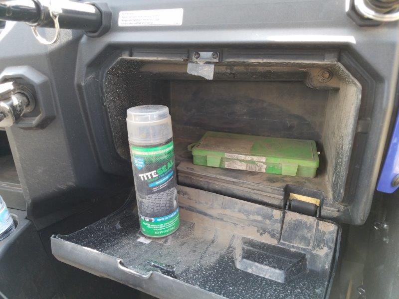
They provide you with a tire repair kit in the glove box.
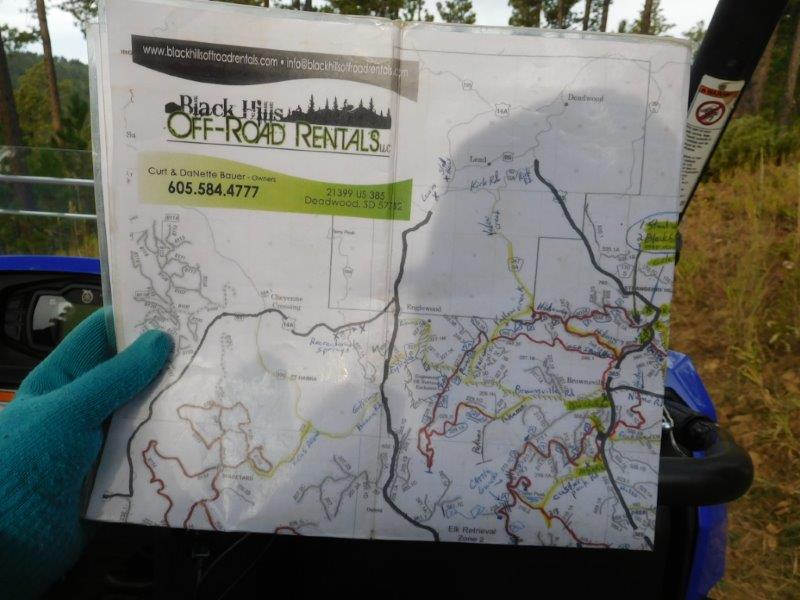
They also give you a well annotated laminated map of all the trails in the Black Hills National Forest.
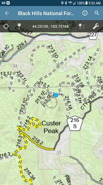
We were also told to put the Avenza Maps app on my phone and download the trail maps for this region. Done.
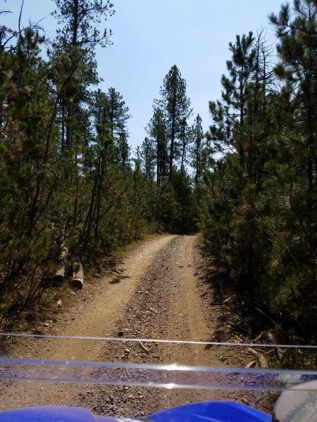
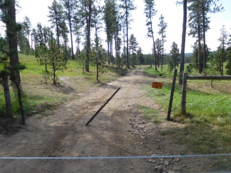
And we were off, there was a trail that started 50 feet from our RV! Notice the lack of a windshield!
Between the laminated map and the GPS on the phone, we had no trouble navigating. We got quite good at finding the signs that marked the trails. We were off. Our first destination was the fire tower on Custer’s Peak.
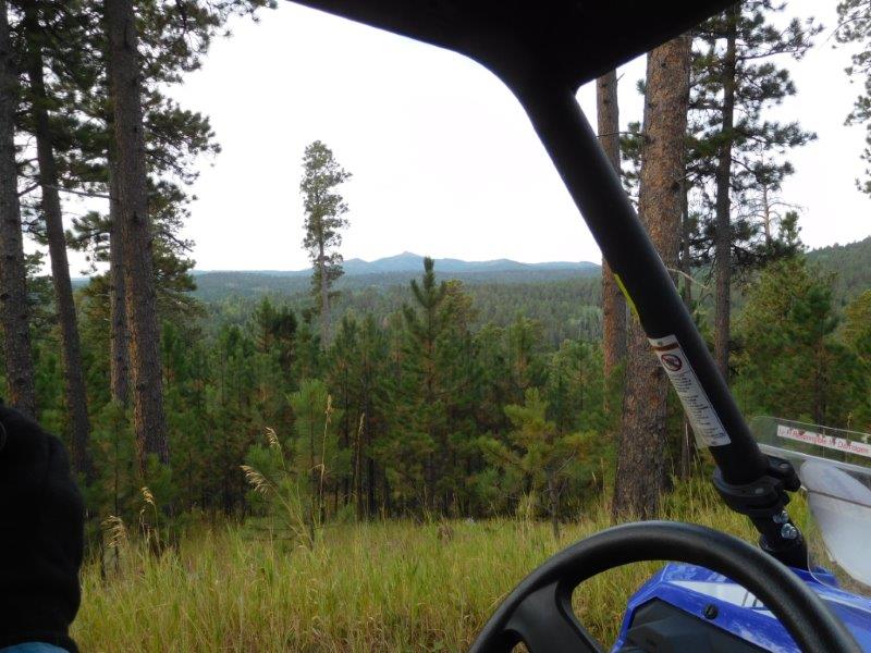
Custer’s Peak…that’s where we were heading
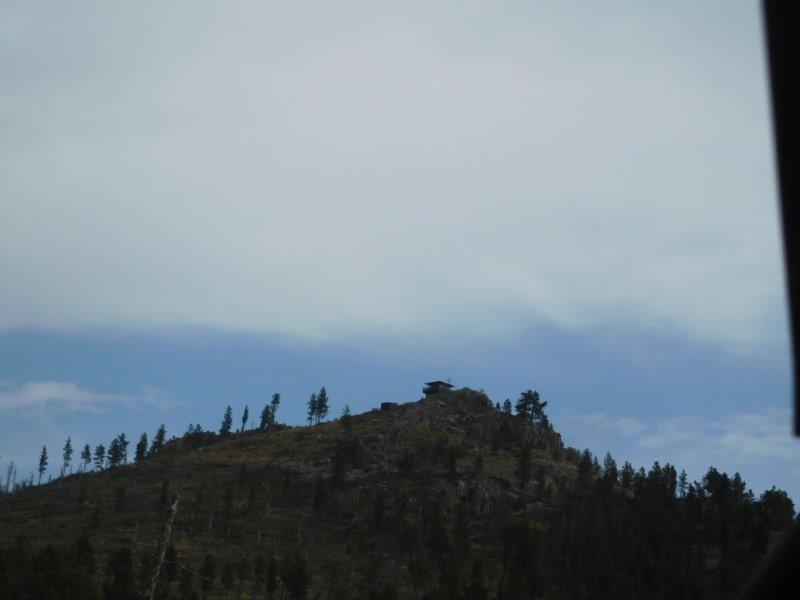
We were closer and could now see the fire tower.
We arrived at the parking area, but had to hike to the top. You can just see our UTV…it’s the blue speck in the center of the picture.
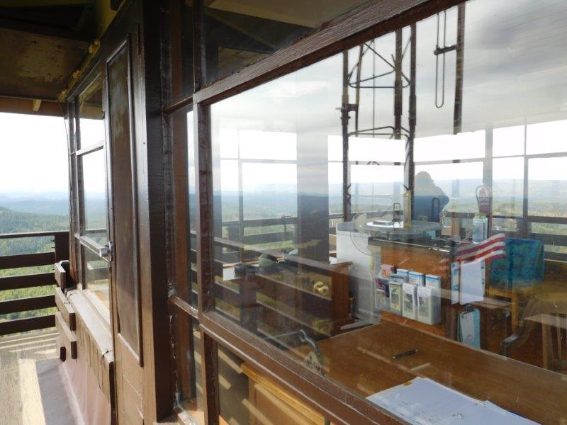
Up top, we found the tower womanned (as opposed to manned). The young lady was from West Virginia and had graduated with a degree in Forestry. This was her seasonal job…staring through binoculars for 10 to 11 hours a day looking for signs of smoke. It was nice to be able to ask her all the burning questions we had!
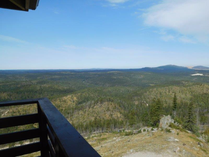
View from tower

We stopped for lunch. Notice the UTV is no longer a bright, clean, shiny blue. I didn’t expect that much dust!
Something else unexpected were the gates we had to open. I got pretty good at opening barbed wire fences, and only got one sliver!
This is why the fences existed. Cows were grazing everywhere!
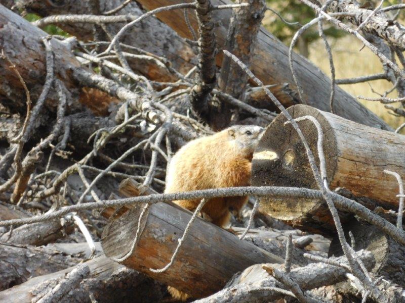
We spotted a groundhog and some deer (whose picture I seem to have misplaced).
We had wandered quite a ways from home and needed to take the main road to get back in time.
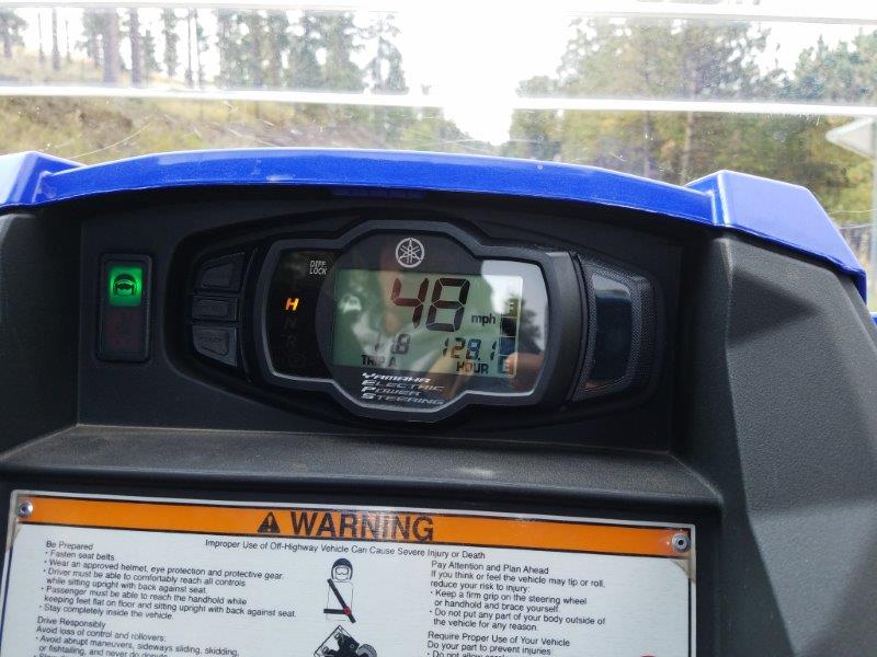
These UTVs can go up to 50 mph!
All in all, we put 70 miles on this UTV. We had a blast.
Here’s a video I took that gives you an idea of what the trails were like. This one was pretty good, although a little rocky. We ended up on some that were narrow and steep. I had a few “close your eyes” moments. It’s a good thing Jim was driving (and thoroughly enjoying it!). The link to the video is here: https://youtu.be/yX3y-c9Moxs
By the end of the day, were were filthy, and so was everything we had with us. But it was totally worth it. It was a great fun day.
Homestead Gold Mine
Our final day in Deadwood we visited the Homestead Gold Mine. The mine is no longer in operation, it’s just too expensive to get the gold out of the ore. BUT, it turns out the miles deep tunnels are perfect for studying Particle Physics. So now the South Dakota’s Sanford Lab works in the tunnels of the mine. Scientists from around the world do neutrino experiments in these tunnels. The earth above prevents stray neutrinos outside from messing with their experiments. Who knew?
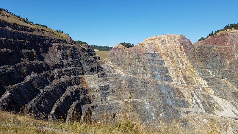
Homestead Gold Mine
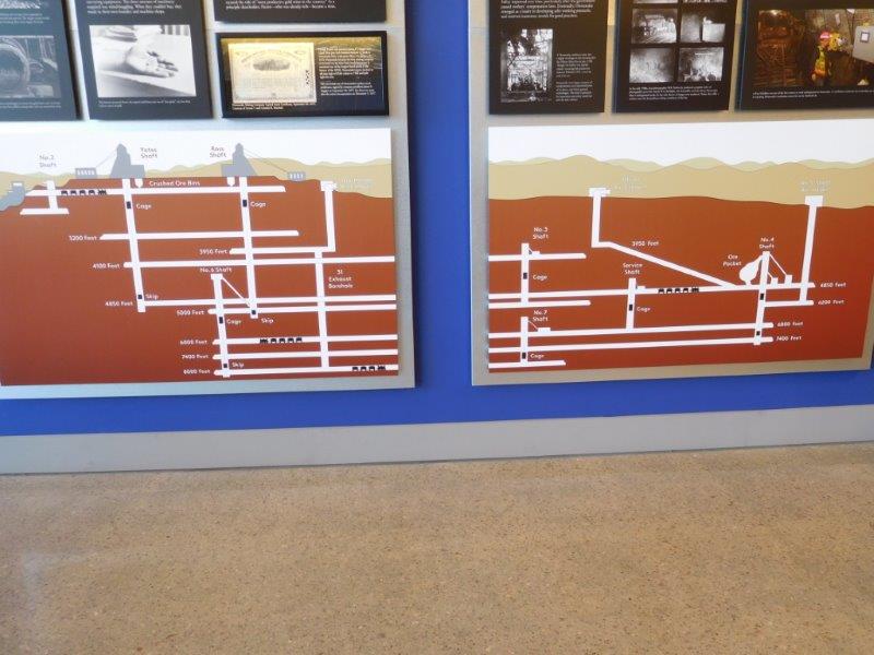
This map shows all the levels in the mine. The majority of the experiments take place at 4850 feet down. But they tunnels go as deep as 8000 feet.
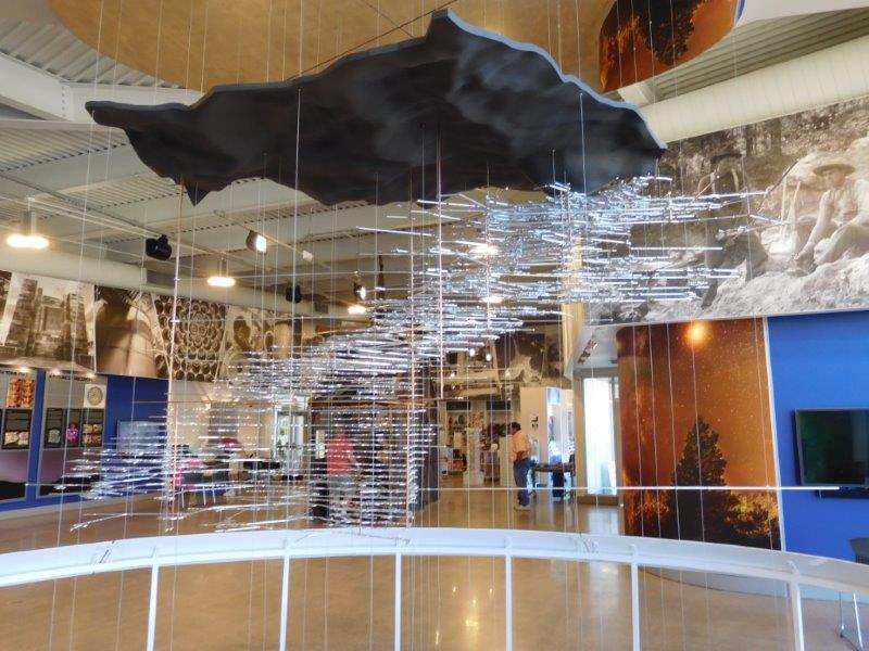
In the visitors center, there is the mobile sculpture hanging from the ceiling. Aluminum was cut to represent all the tunnels in the ground. And you can see the shape of the terrain above all the levels. It was quite impressive.
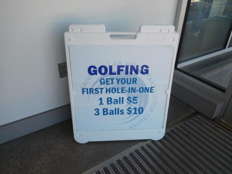
As a fund raiser, the visitor’s center will let you swing a golf club and get a guaranteed hole-in-one.
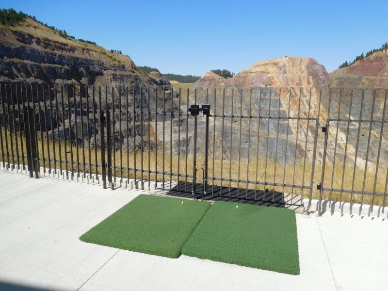
Here’s the tee. See, it would be impossible to NOT get a hole-in-one. You are driving the ball into the pit mine! Clever.
Wow, that was a lot of pictures. We are in Wyoming now seeing some sights. On Tuesday we have an appointment with a RV repair shop in Gillette, Wyoming. The water valve on our toilet broke! Fortunately, it’s still usable…we just need to pour water down it manually. The new commode is on order. So till it arrives, we will just have to find more fun things to do.
More unique experiences!!!! Thanks for sharing them.