Wow, that title is a mouthful. I promised you an unusual blog post. This is it. Let me start at beginning.
As many of you know, our youngest daughter Janelle is getting her PhD in coastal ecology at Texas A&M University at Galveston.
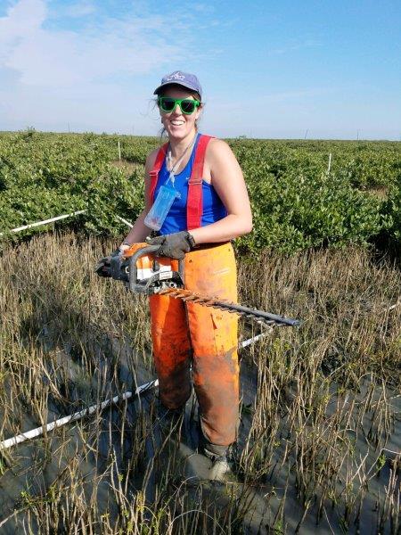
Janelle in her natural habitat, “The Field.” This was in Port Aransas, Texas where her lab has baseline mangrove plots. She was trimming tests plot back to a certain percentage of mangrove coverage. She was one of the few people who had previously used a hedge trimmer! All those years making the kids help trim our bushes paid off!
This past semester, Janelle took a class in GIS (Geographic Information Systems). I linked to the Wikipedia article there, but to borrow from Wikipedia, GIS computer applications “are tools that allow users to create interactive queries (user-created searches), analyze spatial information, edit data in maps, and present the results of all these operations.” Basically, it’s taking computers and map data, squishing them all together, and getting meaningful results out.
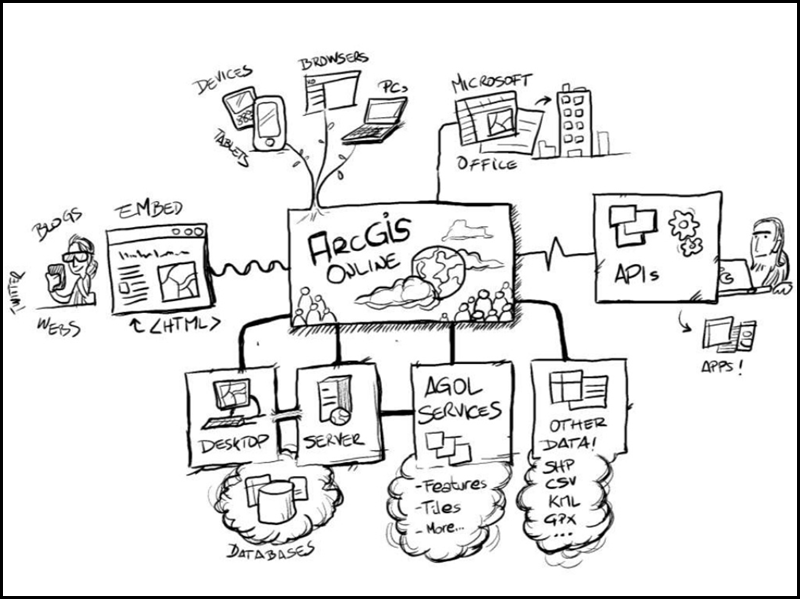
Don’t ask me to explain this. I think it’s someone’s vision of how GIS works.
For my birthday this year, Janelle killed two birds with one stone. She had to do a GIS study for her class and presented the resulting PowerPoint presentation to me as my birthday gift. I loved it! Don’t give up on me yet…keep reading. Here’s the start of the PowerPoint presentation she gave me.
Here is the title of Janelle’s project. Yes, she is going to use our past travels to scientifically recommend where we should go in the future.
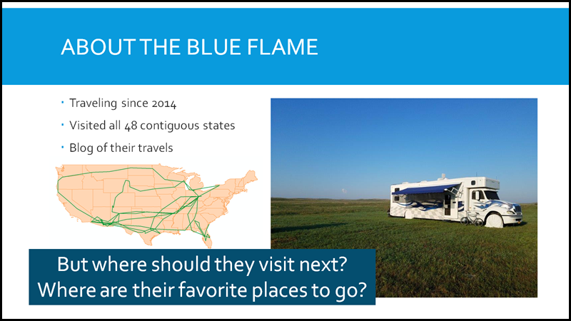
Here is Janelle’s intro slide. While all the other student were doing their GIS projects on flora and fauna, Janelle did her project on her parents. I can just imagine her fellow grad students shaking their heads.
I’ll try to summarize here what Janelle did (I’ll have to get her to proof this!):
- Past history of our trip:
- Using the maps of our past trips, get the latitude and longitude of all the places we stayed since the Spring of 2016.
- Also record the dates these locations were visited.
- Get historical temperature and precipitation data for the above historical dates and locations.
- Get a highly rated campgrounds in the USA along with a list of the nearby towns and their populations.
- Get a list of National Monuments and Parks and their proximity to the highly rated campgrounds.
By using the above data and waving a magic wand (i.e. the GIS program), Janelle was able to determine month by month where we should visit based on where we did stay, the weather, quality of a campground, nearness to National Parks and town size (smaller the better). The maps below show the suitable areas of the country (based on the criteria Janelle gave it) month by month. The smaller the dot, the more suitable a campground.
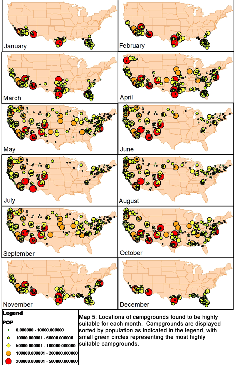 You will note that in the winter, Janelle’s calculations has us in the south. In the summer, we should head north. That makes total sense!
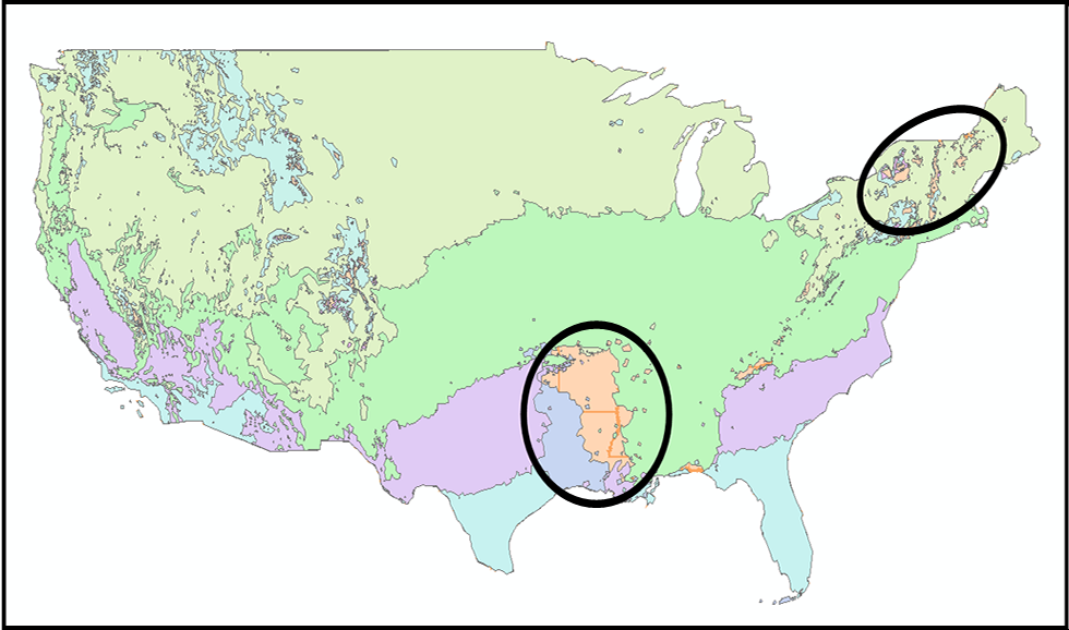
When Janelle put all the maps on top of each other, there are two areas of the country that were deemed not suitable. Alabama and, ironically, parts of New York! This might require a little investigation to determine why.
That in a nutshell was my birthday present. How cool is that? I haven’t done Janelle’s project justice i this blog post. She put a lot of time and effort into it. But you get the idea. There is a lot more technical detail than what I got into here. If you want the nitty-gritty, below are links to a pdf of the full PowerPoint and the paper Janelle wrote for the project. By the way, Janelle got an A in the class. I’m a proud Mom!
Wow — impressive!!!! Congratulations to Janelle on her “A”. What a unique birthday present!!!