We left the smoke of British Columbia and drove down to the Mt. Rainier area. On the way, we saw three things of note.
Crop Signage
While driving on Washington State Highway 283 between Ephrata and George (yes, there is a town called George, Washington!), we noticed these blue signs along the highway.
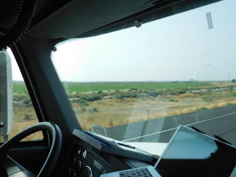
You can just see the blue sign in the center. It turns out it is pretty tough to take a picture at something on the side at 55 mph!
On the signs were words like “Corn”, “Wheat”, “Oats”, etc. Then we realized that the signs were denoting what was in the fields behind the signs. That was pretty cool, especially when you are married to someone who grew up on a farm! A person no longer has to wonder what that crop is. But who was doing this?
I googled it and discovered a newspaper article about a high school FFA (Future Farmers of America) partnering with a Rotary Club to get the signs made and “plant” them. Every Spring they get a list of what the farmers are planting and where. The signs are then placed appropriately. What a great way to educate city folks!
Cooley Corridor
We didn’t realize we would be driving what is called the “Coulee Corridor“. In the region of the Coulee Dam along the Columbia River, the landscape suddenly opened up onto a large canyon that we would be driving along. Wow!!! It was spectacular. This area has gone on to our list of places to come back to and explore.
Below is dash-cam video of coming into this surprising scenery. I sped it up 4X. I also apologize for all the bug smears on the windshield. Some things you just can’t control! You can view the video also on Youtube at https://youtu.be/qhPyUIDzs3Q.
I need to give a shout out to the OpenShot Video Editor. It is an open source (i.e. free!) video editing application that works GREAT! I have stopped using the video editor I paid for and am using OpenShot instead. It’s that good and easy to learn.
White Pass Encampment
We had one more surprise on our drive to Mt. Rainier. Highway 12 takes you through White Pass. As we entered the pass, we all of a sudden saw a tent city. It took a few seconds, but we quickly realized this was the base camp for a crew fighting a wild fire in the area. Wow! It takes a village to fight a fire. Again, I’m relying on dash-cam video to show you what it looked like. I couldn’t grab my camera fast enough to snap a picture or two. Don’t blink. The video is also on Youtube at https://youtu.be/zZys2EPSaLI
Those were the surprises on that day’s drive. I love when you come upon the unexpected. That is part of what makes this lifestyle so much fun.
Nice pictures but you have to tell that guy that is driving to slow down a little so we can enjoy the scenery!!! After Don finished the AT, he told me that he wanted to hike Mt. Ranier. I was a little nervous and told him that people die up there. He just wanted to hike around the base. Don’t know where he started but — he did it.
Unfortunately, we have a bit of a schedule to keep on this trip. So some scenery needs to fly by. I know exactly what trail you are talking about that Don walked. It is the 93 mile Wonderland Trail. There are multiple starting points. Wow, Don really liked to hike!
Yep —- he did.