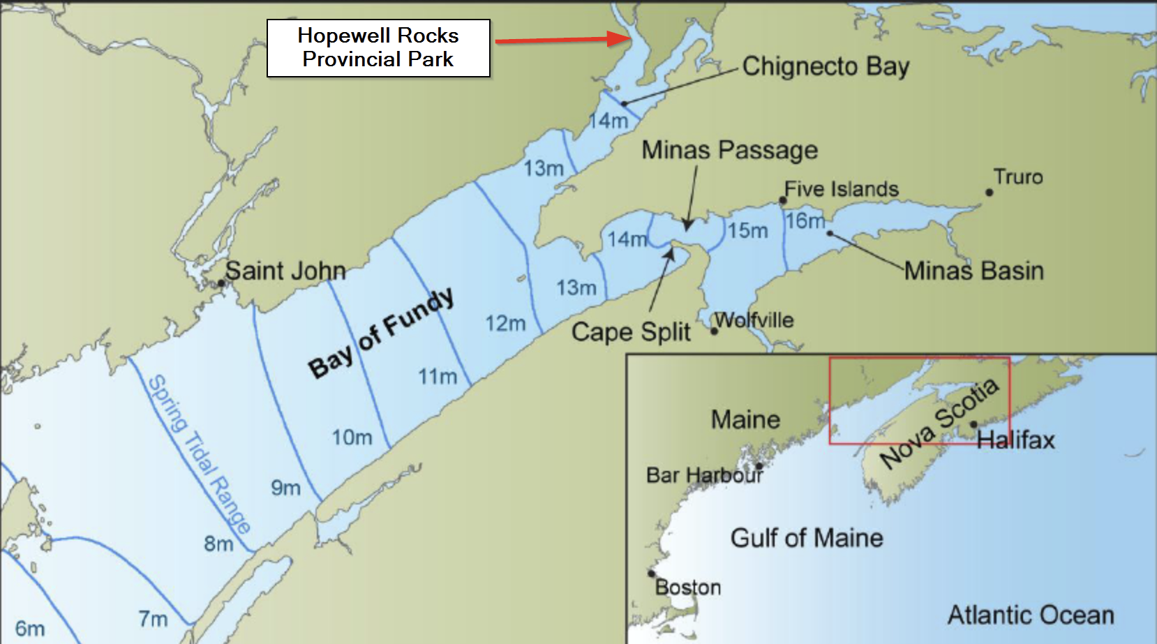
The Bay of Fundy, which separates New Brunswick and Nova Scotia is home to the biggest tides in the WORLD! And we were determined to see this tide in all its glory. One of the most spectacular places to witness the tide is at Hopewell Rocks Provincial in Nova Scotia.
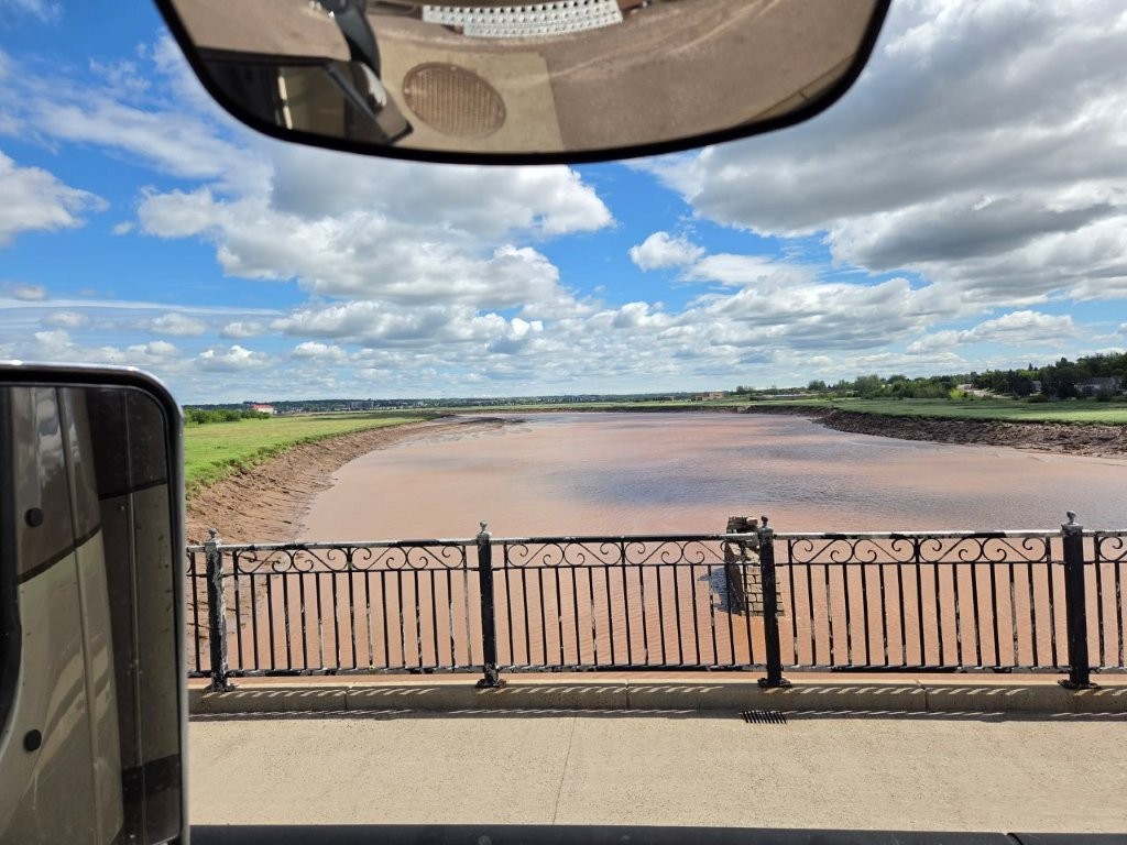
To get to Hopewell Rocks, we had to pass through Moncton, NB, which sits on the Petitcodiac River. This river feeds into the Bay of Fundy and is also affected by the large tides. This river runs backwards twice a day!
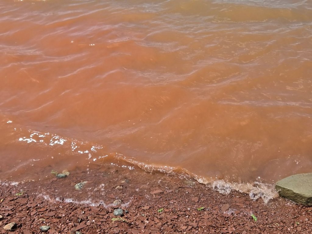
The Petitcodiac River is often called the “Chocolate River.” It does look like chocolate! Willy Wonka should be around here somewhere. This coloring is due to the distinctive brown mud floor. I wonder if anyone ever swims in it?
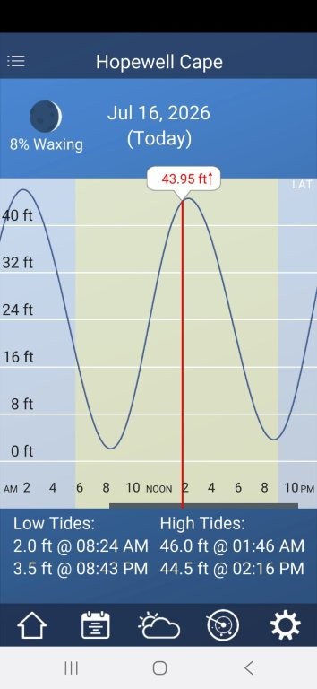
We made our way to our campground that was just a few miles from Hopewell Rocks. Let’s see what the tide chart showed us for that day.
Low tide was at 8:24 a.m. Some 46 feet later, high tide was at 1:46 p.m.
Perfect. That tide chart helped us plan our day. Hopewell Rocks Provincial Park opened at 8:00 a.m. We could check out low tide at 8:24, then see the tide rushing in at the halfway point of the tidal cycle. After than, we could get lunch somewhere, then be back at 1:46 for high tide. And that’s exactly what we did.
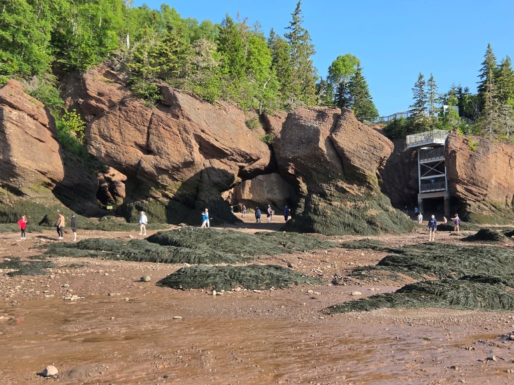
From the parking lot, there was a 1/4 mile trail to get to the staircase that led to the Flowerpot Rocks feature of the park. We were one of the first in the park at 8:00 a.m. and we opted to take the shuttle to get to the required staircase to get to the shore. Most people walked. As a result, we were the first people that day to “walk the ocean floor.”
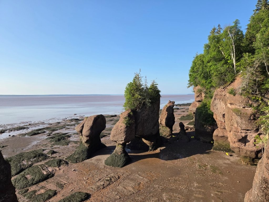
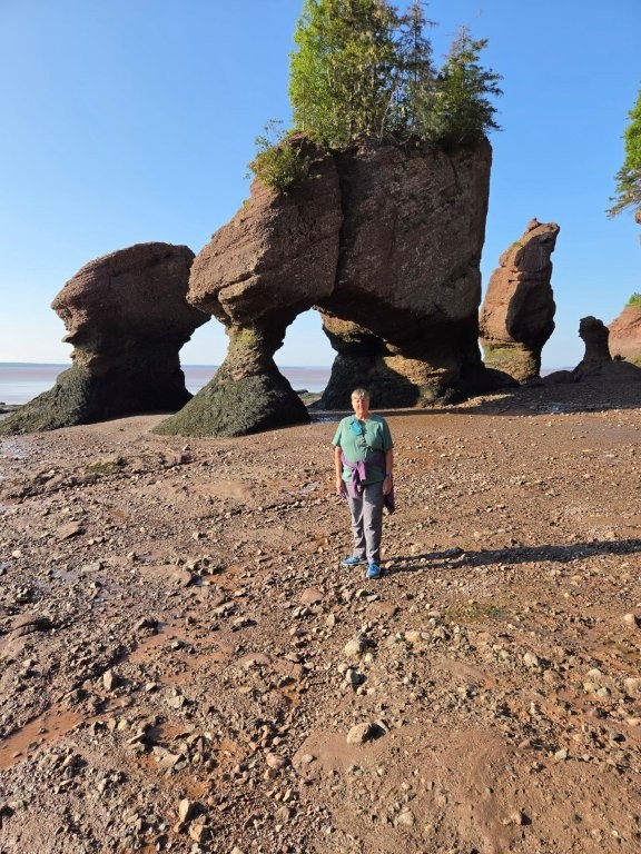
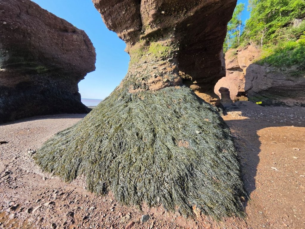
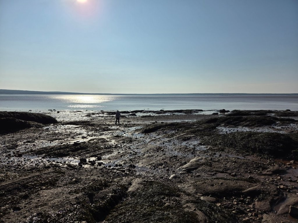
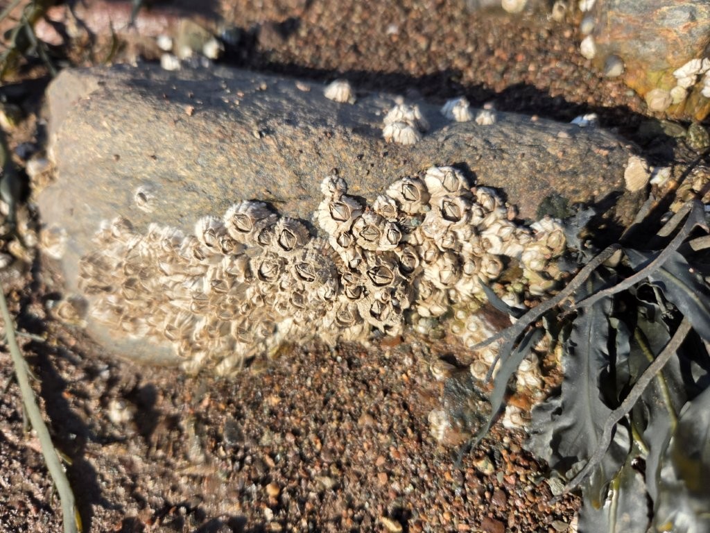
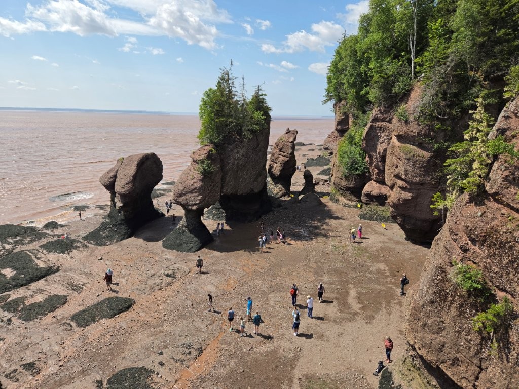
Low tide! And no people. That would quickly change. If you have ever seen pictures of the Bay of Fundy, I’m betting at least one picture of the seastacks was included.Off to the right, you can see the stairway you had to descend to get the bottom. And here come the crowds!Here I am, walking the ocean floor before the rest of the crowds got there. Note the erosion on the seastacks. Now you know why this area is called Flowerpot Rocks.We were told that the lowest high tide comes to the top of this seaweed.James ventured out onto the muddy shore.I visited with the barnacles!
After exploring for a bit, the crowds really increased, so we decided to explore other parts of the park. But first we had to deal with some mud.
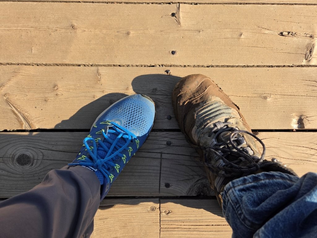
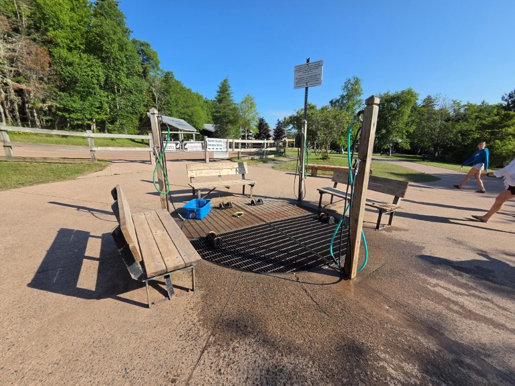
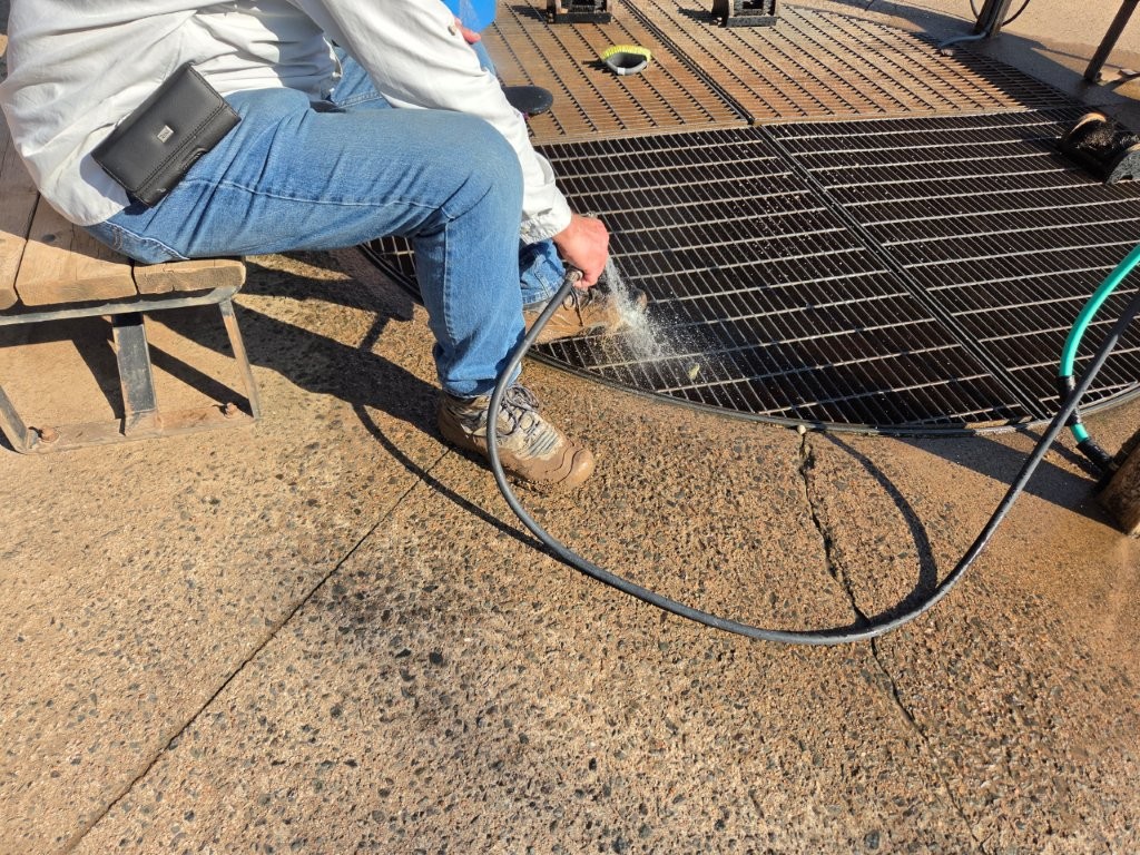
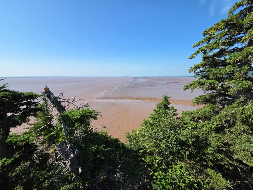
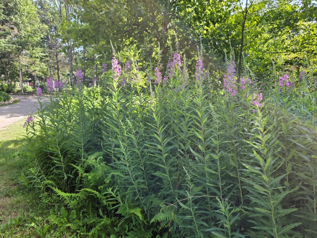
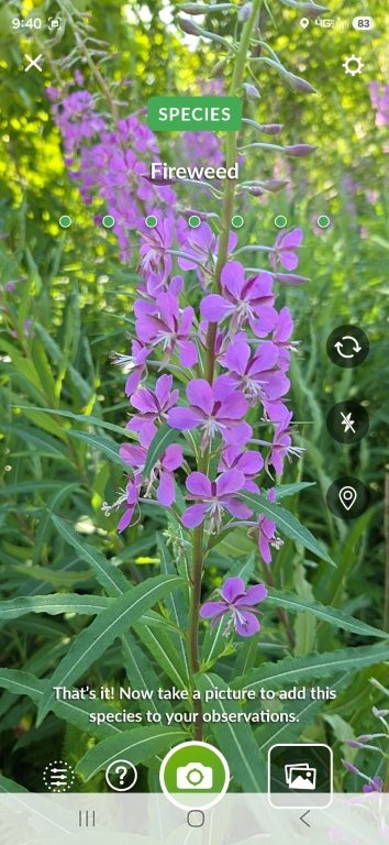
We had been warned that your footwear could get muddy. I wore old sneakers and James wore his hiking boots.Fortunately, at the top of the stairs they have a convenient rinsing station to clean off your footwear.Yup, let’s hose those boots off! I can’t imagine what the drain pipes for this sump looks like. Probably full of mud!This is Daniel Flats right next to the park. At low tide, all you see is a HUGE mud flat!We had been seeing these plants all over the place. Hmmm, I had a theory as to what they were.I was right! Fireweed! We saw fireweed all over Alaska last summer and I knew it wasn’t found just on the west coast. Thank you to the Seek app for verifying my suspicion. Seeing fireweed again and on the east coast made me very happy.
It was now the midpoint of the tidal cycle. It was time to go back to the Flowerpot Rocks and see how it differed.
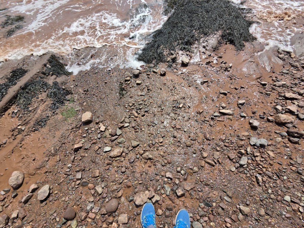
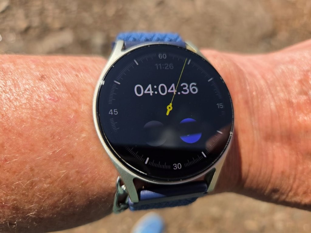
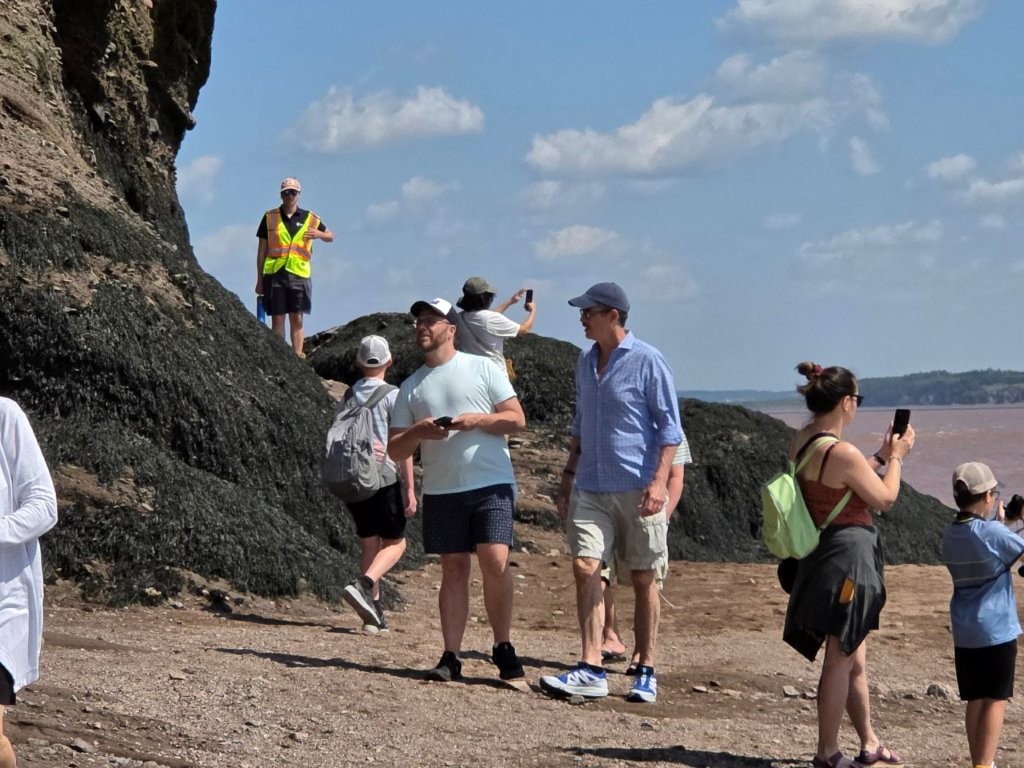
First, notice more people! This is about the time the tour buses started rolling in. The water was indeed coming closer to the rocks.I decided to do a little experiment. I stood about 5 feet away from the incoming water and timed how long it would take for my feet to get wet.Four minutes for the incoming tide to advance 5 feet. That’s pretty impressive!Because of how fast the tide comes in, they have park employees in their yellow vests to herd people towards the stairs as the water gets higher. People just don’t realize how quickly it happens!
At this point, we went down the road for lunch (fish and chips…which will get its own blog post someday). Then we headed back to Flowerpot Rocks one more time.
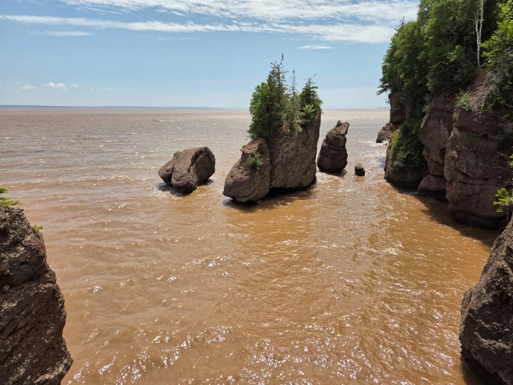
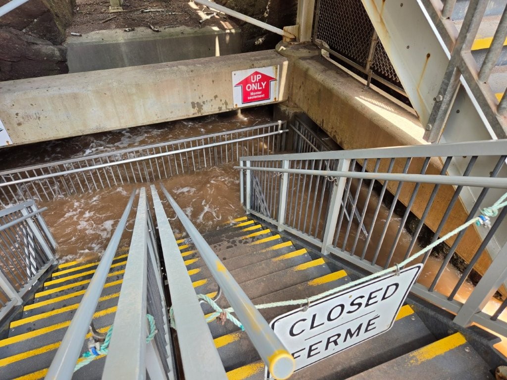
And this is high tide. The muddy brown water has come all the way up.The stairway is still accessible, to a point.
We found the tides to be very interesting. All over the area, as we drove around, it was easy to see evidence of the effect of the tides on salt marshes and rivers and streams. So cool! And we have one more adventure on the Bay of Fundy before we were done. Stay tuned.
What a fun adventure! And thanks for the before and after pictures (of the tides, not the muddy shoes LOL). I am amazed at the staircase and how it is filling up fast. That really is quite a site to see. I actually had no idea that was something to see at Bay of Fundy. It reminded me of the tide surfing you saw at Turnagain Arm in Alaska.
What a fun adventure! And thanks for the before and after pictures (of the tides, not the muddy shoes LOL). I am amazed at the staircase and how it is filling up fast. That really is quite a site to see. I actually had no idea that was something to see at Bay of Fundy. It reminded me of the tide surfing you saw at Turnagain Arm in Alaska.
Keep on keeping on and having fun!