Having arrived in St. Barbe (pronounced “Barb”), we wanted to explore The Viking Trail. How about a map (from the last post) to remind you where we were?
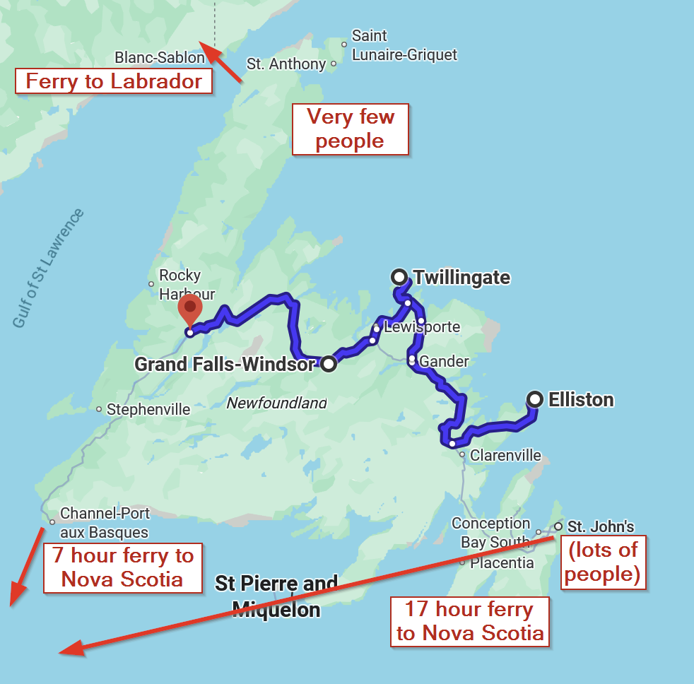
The road up this peninsula is called The Viking Trail, because at the end of it, you come to the a 1000 year old archeological excavation site of a Norse settlement called L’Anse aux Meadows (translates from French to Grassland Bay).
With carbon dating estimates between 990 and 1050 CE (mean date 1014)[3][4][5] and tree-ring dating of 1021,[6][7] L’Anse aux Meadows is the only undisputed site of pre-Columbian trans-oceanic contact of Europeans with the Americas outside of Greenland.[5]
Thank you Wikipedia. Yes, this is the site of the first Europeans coming to North America, way before Columbus. 500 years before Columbus!
Quick note…the road in this area is called “The Viking Trail.” But in actuality, a Viking is a Norseman who raided and pillaged. None of that happened here. So this road should actually be called “The Norse Trail.” Whatever.
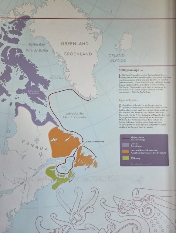
But how the heck to did the Norse get here? I couldn’t imagine sailing across the North Atlantic Ocean. This map explained it!
In the 1960s, two very astute explorer, Norwegians, Helga and Anne Ingstad were shown the area by the local landowner. They recognized the grassy mounds for what they were, old settlements. The Ingstads led excavations from 1961 to 1968, finding the remains of eight buildings similar to known Norse settlements in Greenland and Iceland. After they left, Parks Canada took up the research.
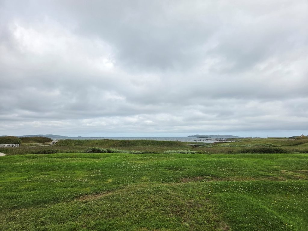
Parks Canada now had enough information to construct replicas of what the Norse buildings might have looked like.
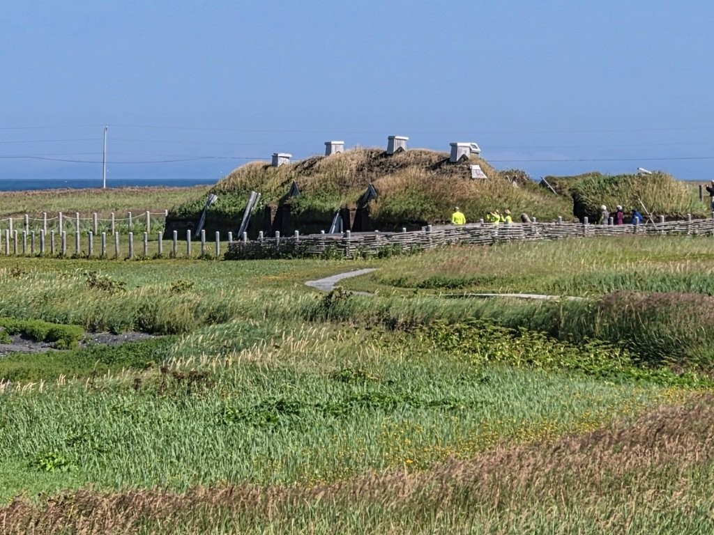
We were able to explore these reconstructions.
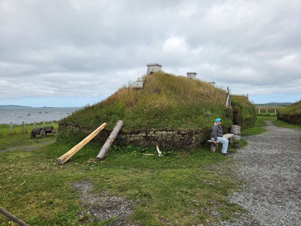
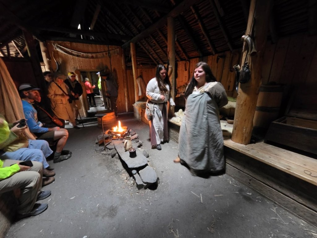
All in all, it was VERY interesting.
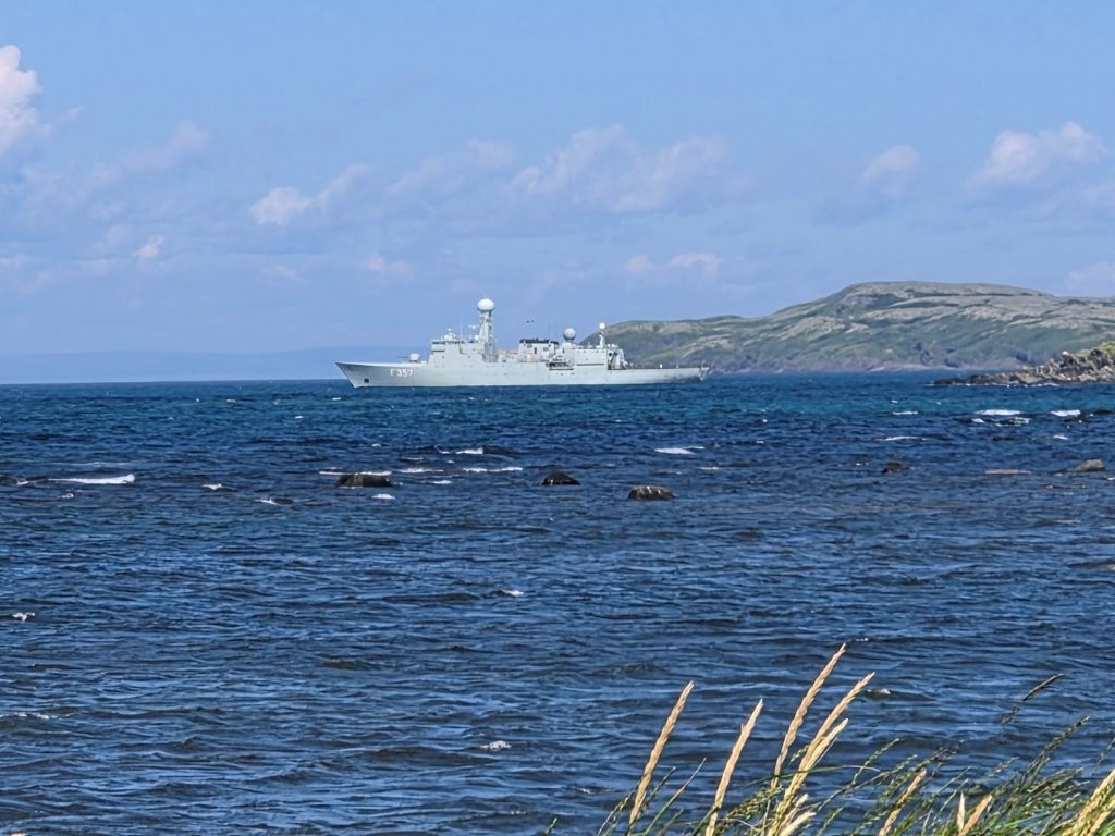
While we were on our guided tour, our guide (who happened to be the Great-granddaughter of the original landowner) said “What is that ship?” Indeed!
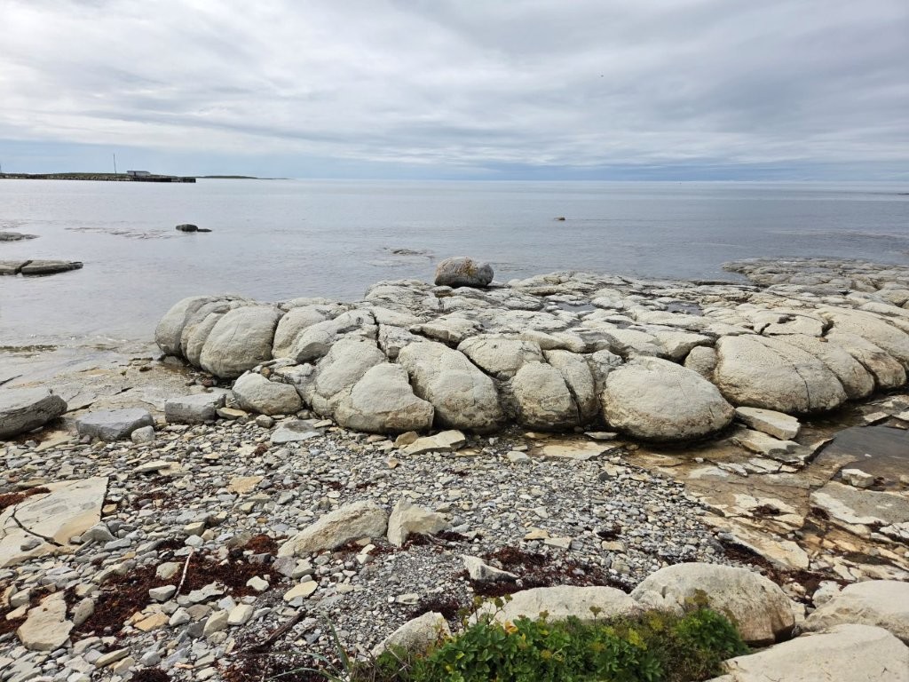
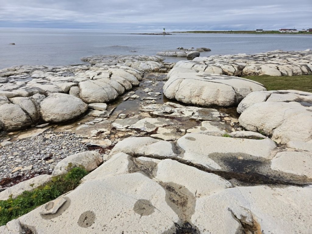
Thrombolites
Not too far away from our RV Park in St. Barbe was a collection of Thrombolites. Thrombolites used to be living creatures that calcified and exist only here and in Australia. If you want more info, read the accompanying sign. The sign will explain it way better than I can!
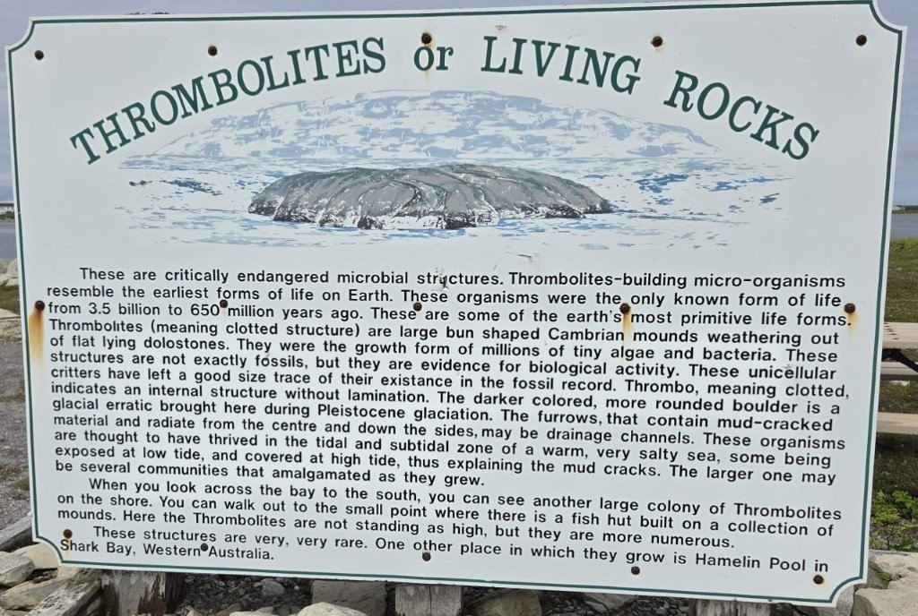
For old creatures, they look pretty good!
On to Labrador
The time had finally arrived for us to depart Newfoundland and head over to Labrador. The night before our departure, I spotted our ferry boat in port. It was not nearly as big as the ferry we took from Nova Scotia to Newfoundland. But then again, it was only a 1.5 hour ferry ride instead of a 7 hour ride.
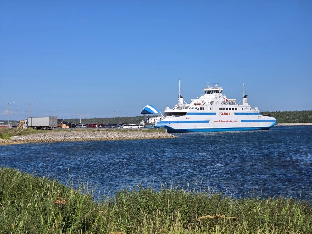
We were up the at 5:00 a.m. the morning of our departure. The ferry sailed at 7:00 and we needed to be in line by 6:00. We got up and immediately proceeded to line up for the ferry. We could get ready and have breakfast waiting in line as easily as at the campground.
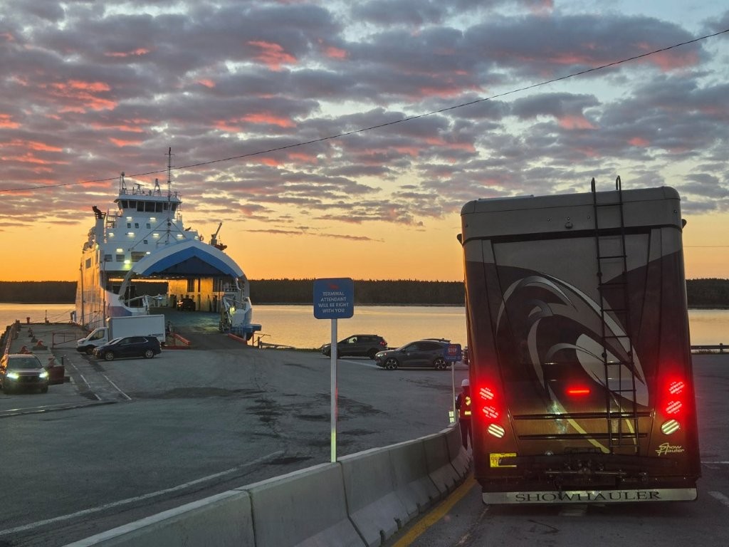
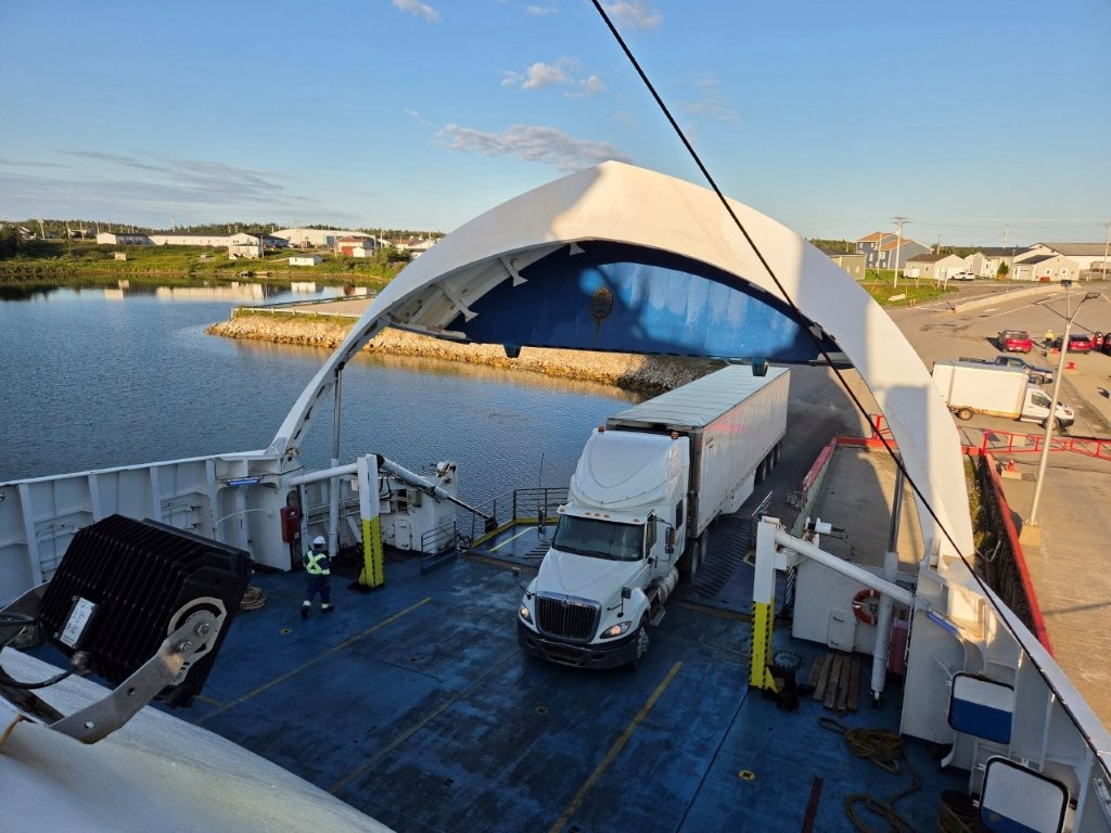
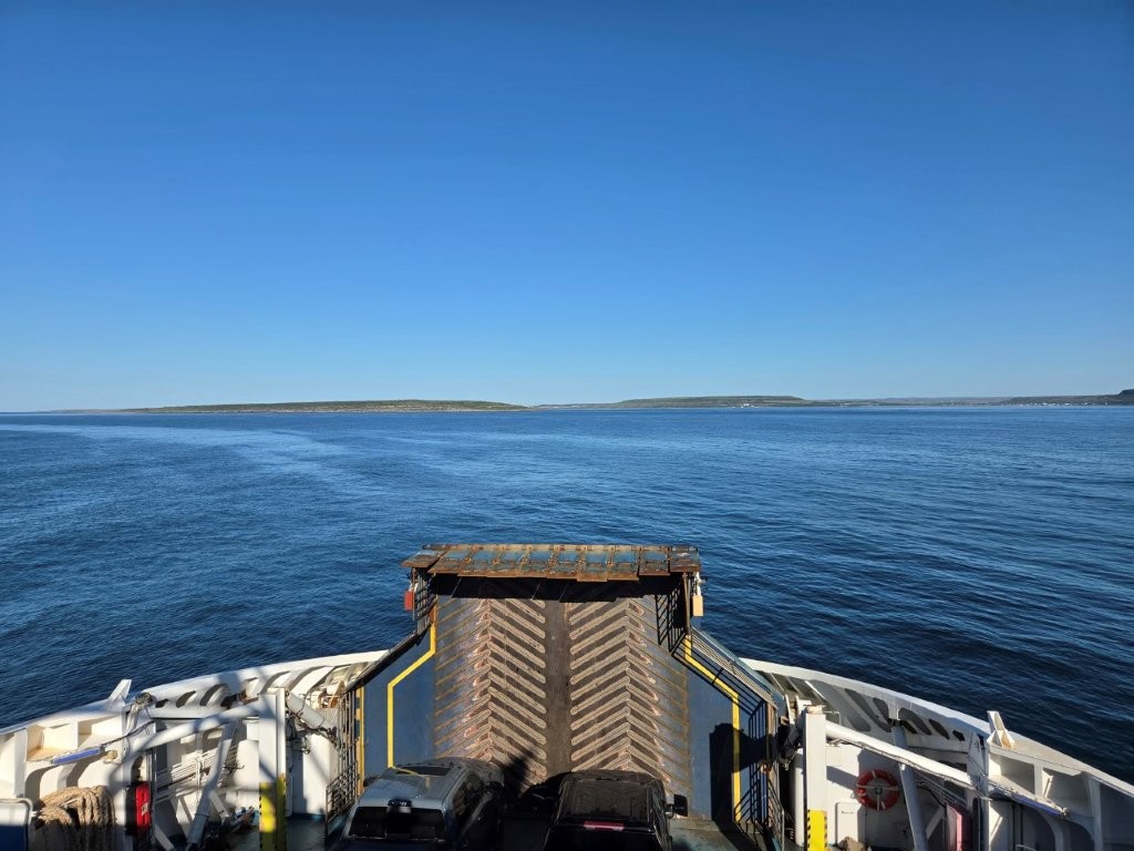
I took another time lapse video of us getting on the ferry. This spliced together video shows us driving on. Then once we arrived in Labrador, I filmed us going down the stairs to get back to the RV, locating it and driving off the ferry. If the video below doesn’t work for you, click on this link. https://youtube.com/shorts/zFp_cXEomFA
We are in Labrador now. It’s all trees and very few people. More to explore!
Thanks as usual for the pictures and info. Those sure are big ferries — not sure that Sandy would fit on the Hatteras ferry to Ocracoke.
Oh..is that a dare? 😉
We have really enjoyed all of your posts. We were not able to visit Newfoundland and enjoyed through your eyes. Also thanks for taking the time to write and photograph your adventures. The time lapse on the ferry is great!
You are welcome! You guys need to get back up here and explore more.
What Fun! Wow, to see such an ancient site that not many people get to visit! I loved that picture of the sunrise coming through the ships front too. I hope your next adventure is equally as beautiful, and you find lots of cool places…patiently awaiting the next blog…