Prince Edward Island (aka P.E.I.) is Canada’s smallest province. But you won’t believe what it supplies most of Canada with. And no, it’s not seafood. Stay tuned….
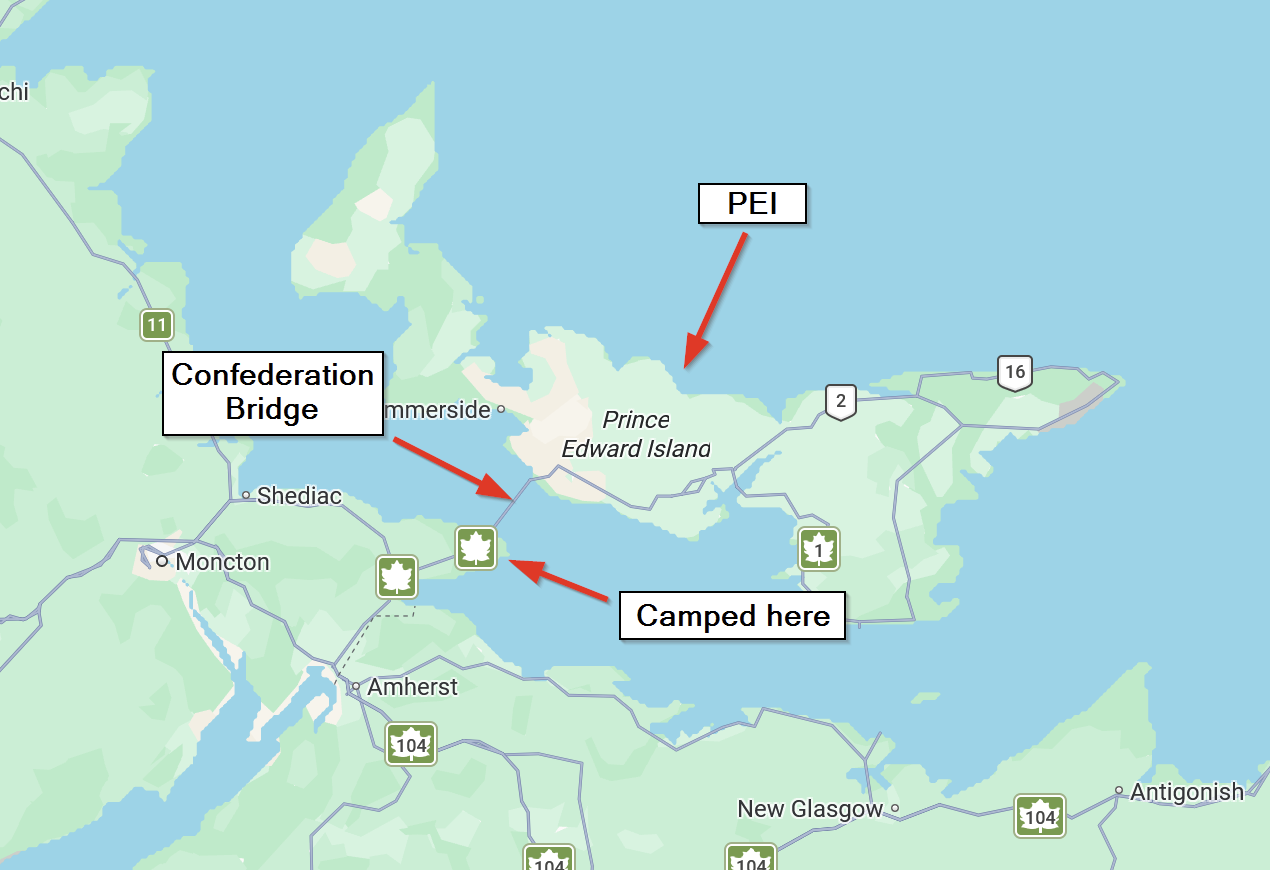
Prince Edward Island is 174 miles long from the eastern tip to the western tip. Its square area constitutes 1% of the square area of Canada.
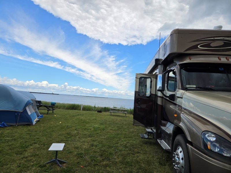
We booked ourselves a dry camping site at a campground in New Brunswick. The weather was mild, air conditioners were not needed.
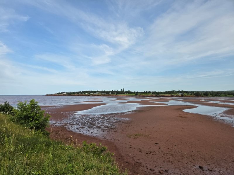
This was definitely a “Room with a View!” Overlooking the Northumberland Strait.We were still experiencing the extremely high tides here.
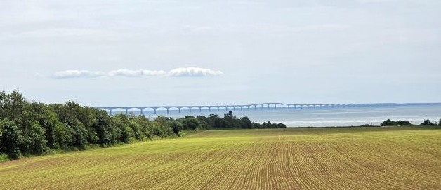
Until 1997, the only way to get to P.E.I. was by boat. The Confederation Bridge changed all that. We decided to take a day trip to visit. Our first stop was the Visitor’s Center.
The Confederation Bridge is 8 miles long and is the longest bridge in the world to go over ice-covered water.
P.E.I. is famous for being the setting of Anne of Green Gables, the beloved children’s book. People flock to the island just to see the house where the author lived. We were not of that group. I knew of the story, but the prospect of a parking lot full of tour buses put us immediately off that.
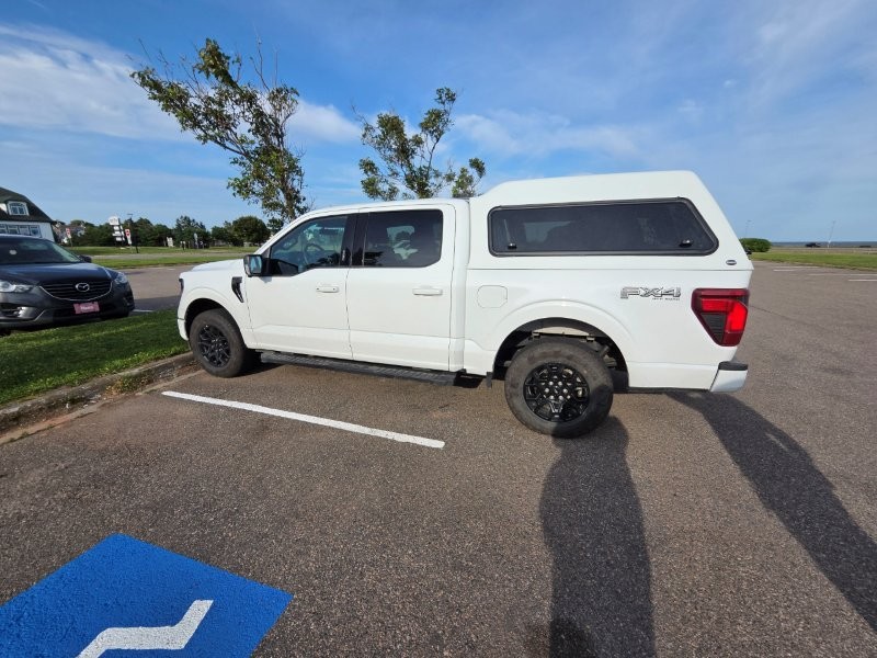
We climbed out of the truck and James remarked “The cars here on P.E.I. must be really short.” Or maybe they ran out of line striping paint that day!
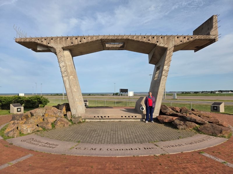
At the Visitor’s Center they had one of the cross sections of the Confederation Bridge. The bridge is only two lanes wide, and this cross section reflects that.
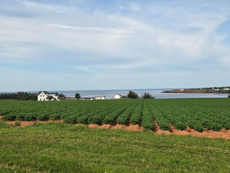
Remember how I mentioned PEI was only 1% of Canada? Well, they provide 25% of the country’s…..
….POTATOES!
Who knew that they would grow so many potatoes in such a relatively small piece of land?
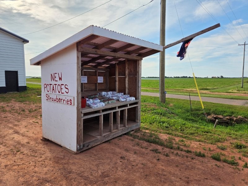
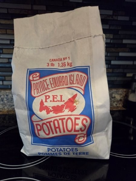
We spotted this farm stand right off selling “New Potatoes.” How could we resist?We now have a bag of P.E.I. New Potatoes. We haven’t opened the bag yet, but I have been warned we will find them coated with dirt! No factory post processing involved.
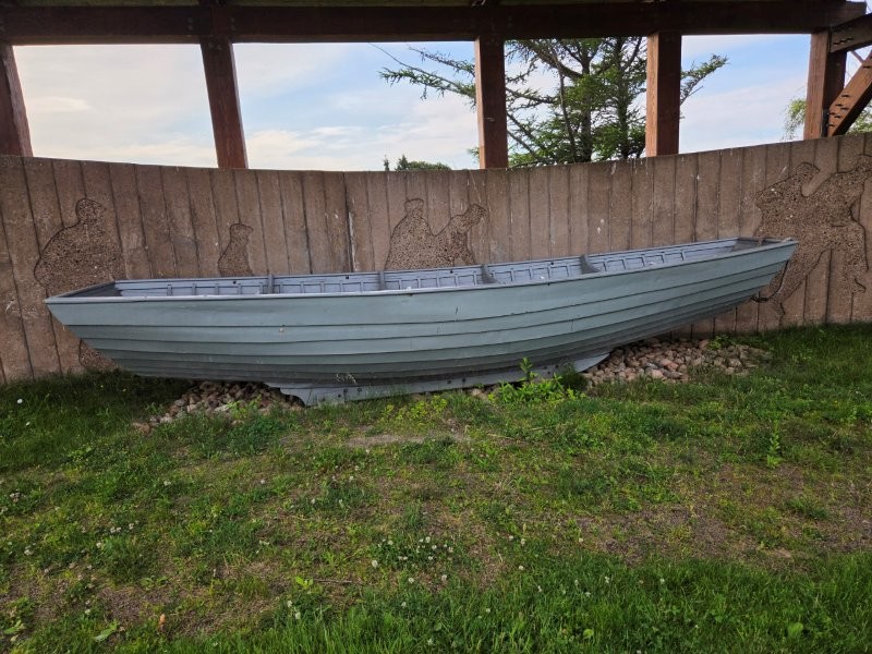
We also drove by this strange looking boat. It’s called an Ice Boat.
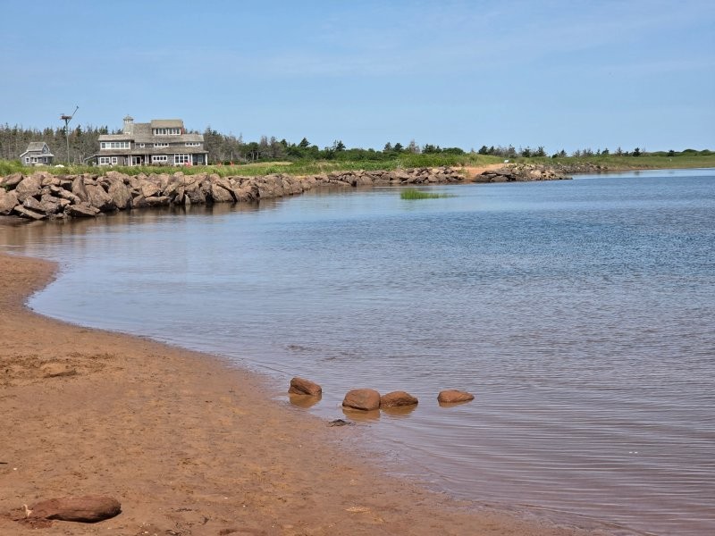
This Ice Boat is a hull with ice runners on the bottom. In 1827, they started using this type of boat in the winter to move the mail, goods and people between PEI and the mainland. They would row or drag the boat, depending upon what was underneath the boat!The south shore of P.E.I. was mostly red dirt. The further north you got, it was more white sand beaches. This area was sort of in between.
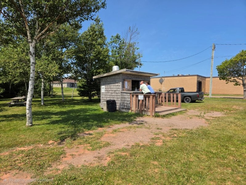
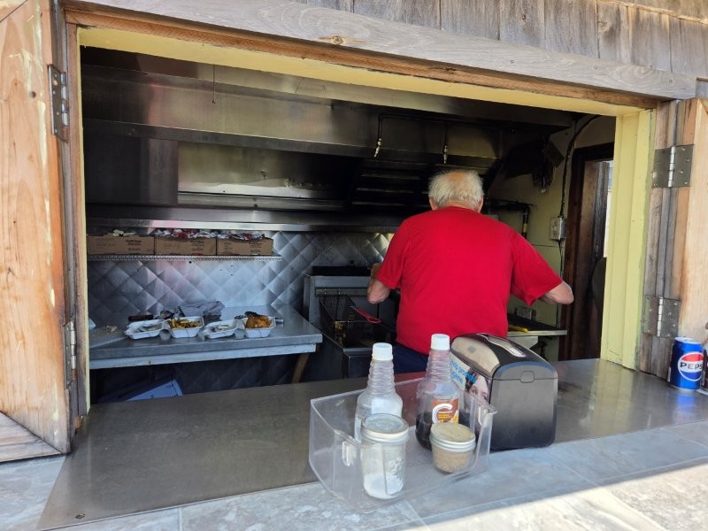
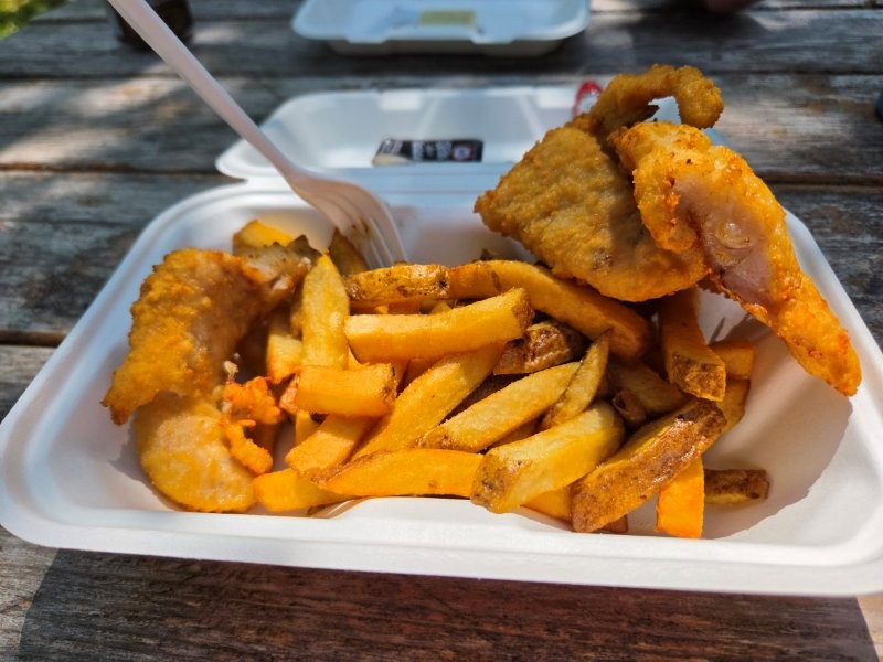
James is on a mission to find the best fish and chips. He asked at the Visitor’s Center for a recommendation and this is what we were told. Route 6 Fish and Chips. Don’t blink, you will miss the place!
This was Route 6 Fish and Chips. The whole operation. If you weren’t looking for it, you could easily miss it.And there was one old gentleman doing it all, including conversing with locals that would stick their heads in the side door to say “Hi!”This plateful is a contender for number 1!
After lunch, we were on the north shore where all the beaches were. And the people. Ugh.
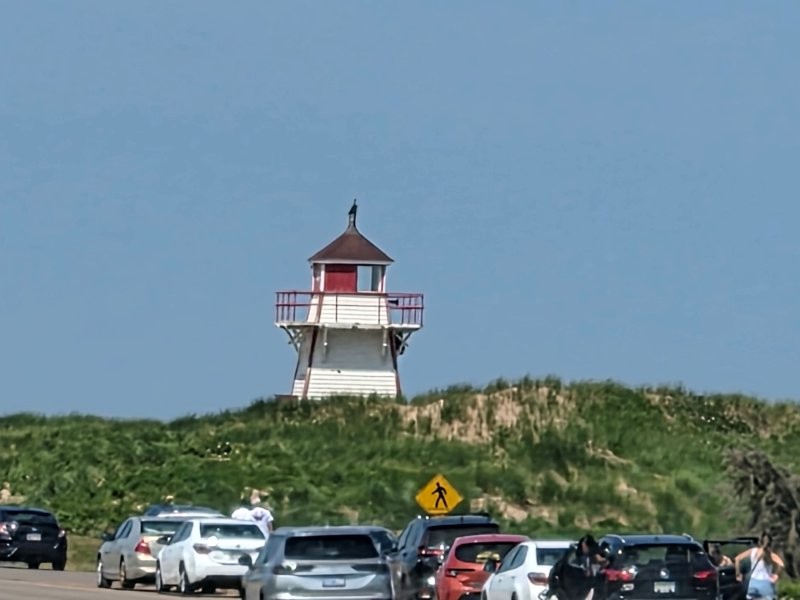
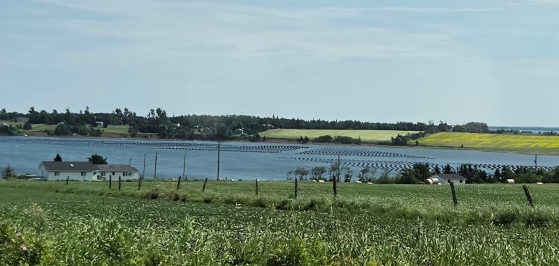
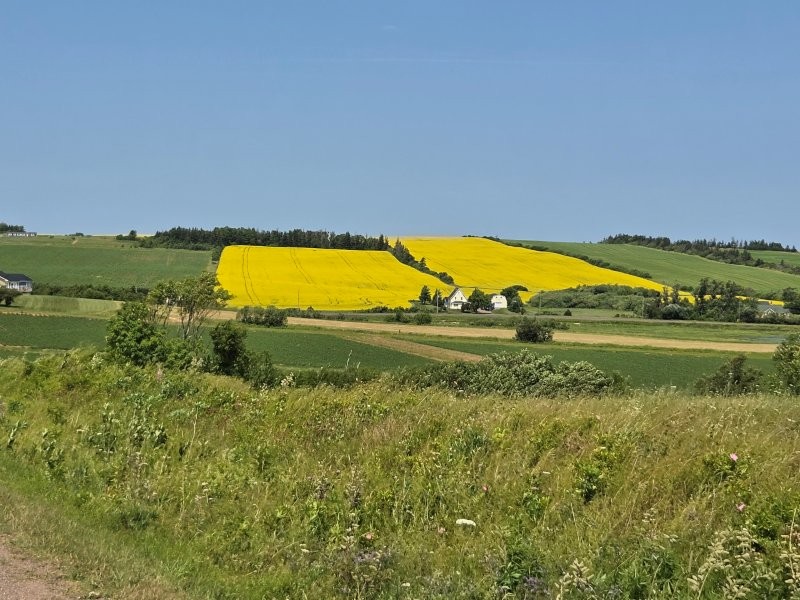
Look! A lighthouse! And cars stopped to see it! We kept driving. I think we are getting jaded. We’ve seen many lighthouses, so felt no need to stop.Now this was interesting! It was some sort of aqua-culture. We think it was oyster farming.As we got away from the beaches and back to the agriculture areas on the south shore. we spotted this colorful field. That is canola, as in the source for canola oil.
P.E.I. was interesting. A day trip there was plenty for us. It is a beautiful place, but we had places to be.
Great story and interesting island for sure. It must have been worth it for the sack of potatoes and fish and chips alone! BUT you gotta eat all those potatoes before you cross back to USA! LOL Or maybe cook them all?
Can’t wait to read what’s next.
Wow — quite a business in such a small place!!!!!!
A bridge that is 8 miles long — not sure I would want to drive on that!!!!
How dirty were the potatoes?
Haven’t opened the potatoes yet. James keeps insisting on eating out for fish and chips! 🙂
Forgot — in your “down time”, you can figure out how to do that map to map out your travels — that was neat
Great story and interesting island for sure. It must have been worth it for the sack of potatoes and fish and chips alone! BUT you gotta eat all those potatoes before you cross back to USA! LOL Or maybe cook them all?
Can’t wait to read what’s next.
Don’t worry, the taters will be eaten. We have lots of time before we head States-side again.